Alice and I had been talking about doing an overnight hike for months. We finally planned the time off (a bit last minute) and had decided to explore a new area: the North Arm Hills. To give you some context about the north arm hills, they are only boat or hike accessible and there are no trails – perfect for an exploratory adventure!
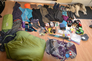 We met up on Thursday to finalize our route, review gear (who’s bringing what) and plan a menu. With that all done, we picked up our groceries and headed back to my place to pack. Packing is always exciting for me! I get to bring together all my favourite things (click here for my packing list) and love the jenga of taking all the gear on the floor to a well packed and weighted bag. We prepped all our food and got organized for a 6am departure.
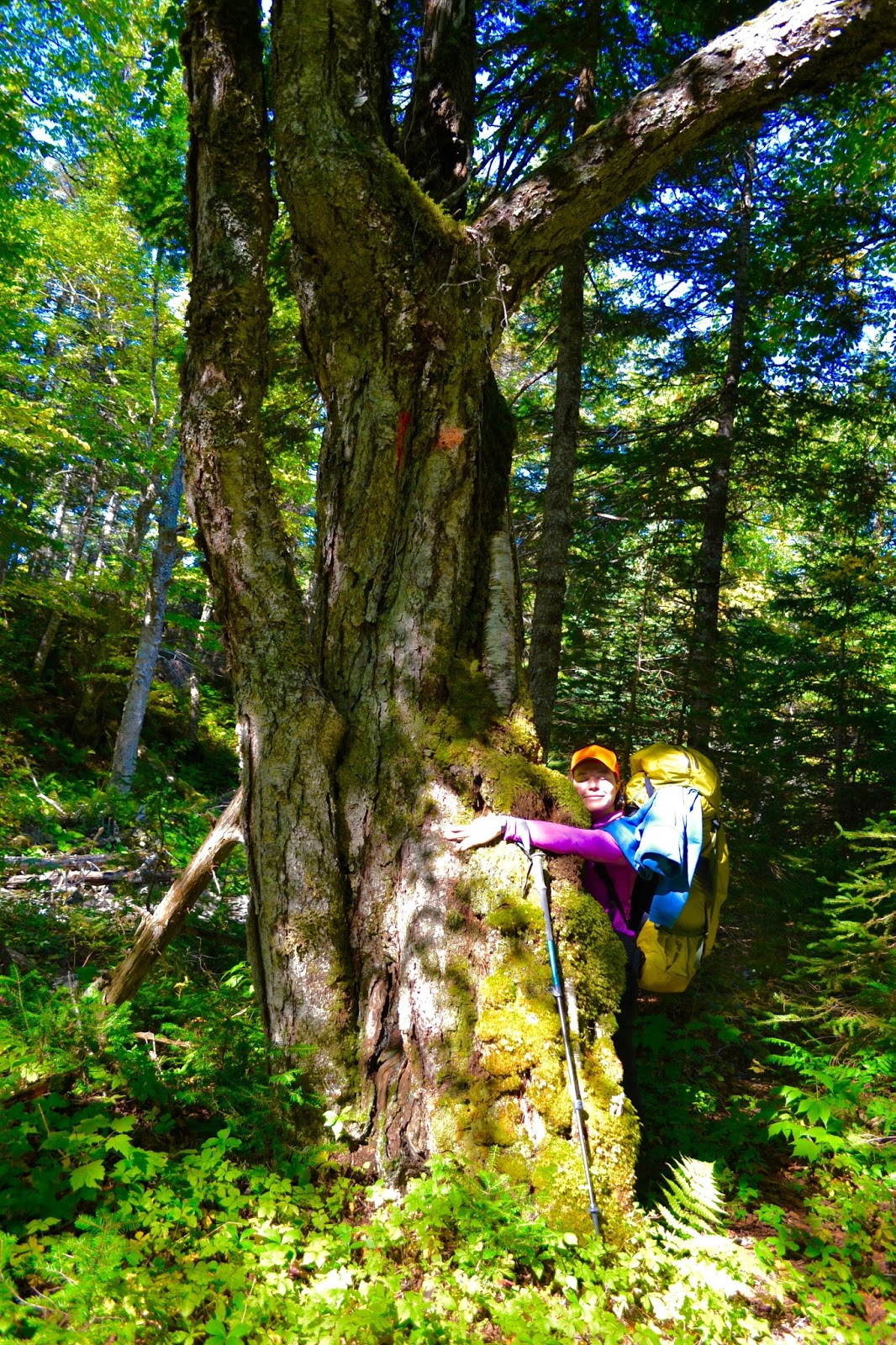
 6am came pretty quickly and eagerly we loaded up gear, dog and people and took off for our 35km logging road drive into the trail head. Our route began on a quad trail, meandering through some ‘old growth’ forest (which is pretty rare in Newfoundland) where the fall colours shimmered in the morning light. We made it down to the beach and our biggest water crossing.Thankfully, this time of year, NL’s water is at its warmest! Off came the boots and up went the pants and across we went. Bubbles wasn’t to keen on the swim, she made 2 attempts, ran up and down the shore and finally figured out that swimming was the only way to go. Husky’s aren’t acclaimed swimmers, and although Bubbles LOVES water, actually swimming is a big deal for her, but in usual Bubbles fashion, she nailed it!
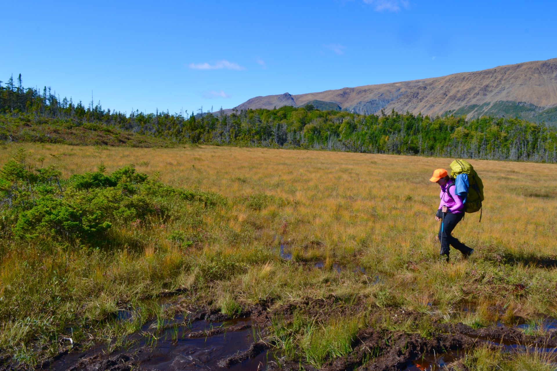
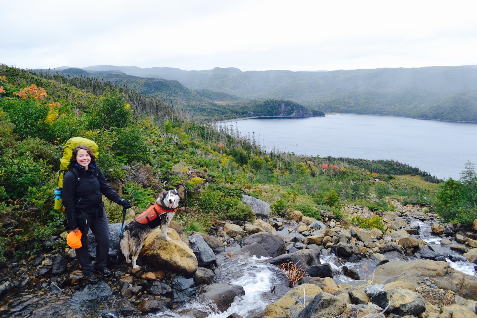 Across and now with dry feet, we began our climb towards the mountain plateau. The proposed trail is currently just flags tied to trees so we had to navigate our way through the forest, playing connect the dots, until we came to the (to be) lookout. From here, you get your first good look at the elevation you have gained and the majesty of North Arm and the surrounding hills.While relaxing and enjoying our lunch BOOM – off goes a gun! We knew there were hunters in the area (we saw the truck and boot tracks) but the shot was a sure fire reminder about fall hiking safety. Wear Orange. Be Seen.
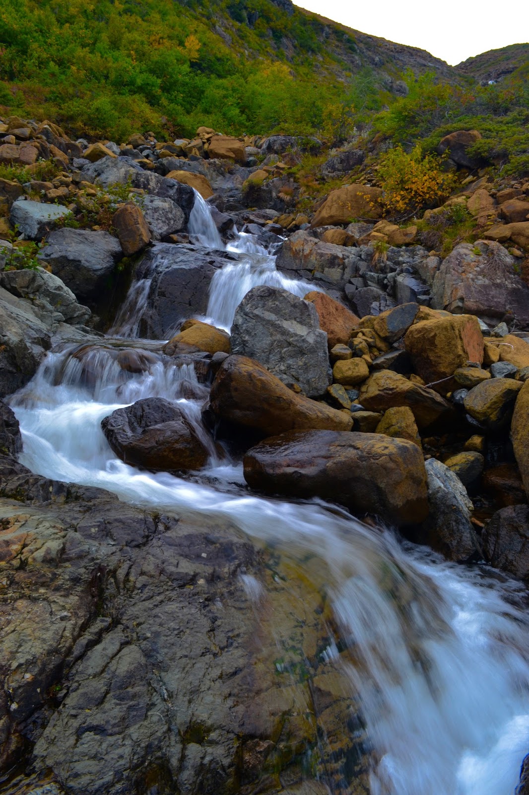 Now the climb begins. We navigated our way up the brook, zigzagging back and forth to stay dry. It had rained about 40mm the day before so we weren’t sure what the brook would be like. Thankfully it was climbable.
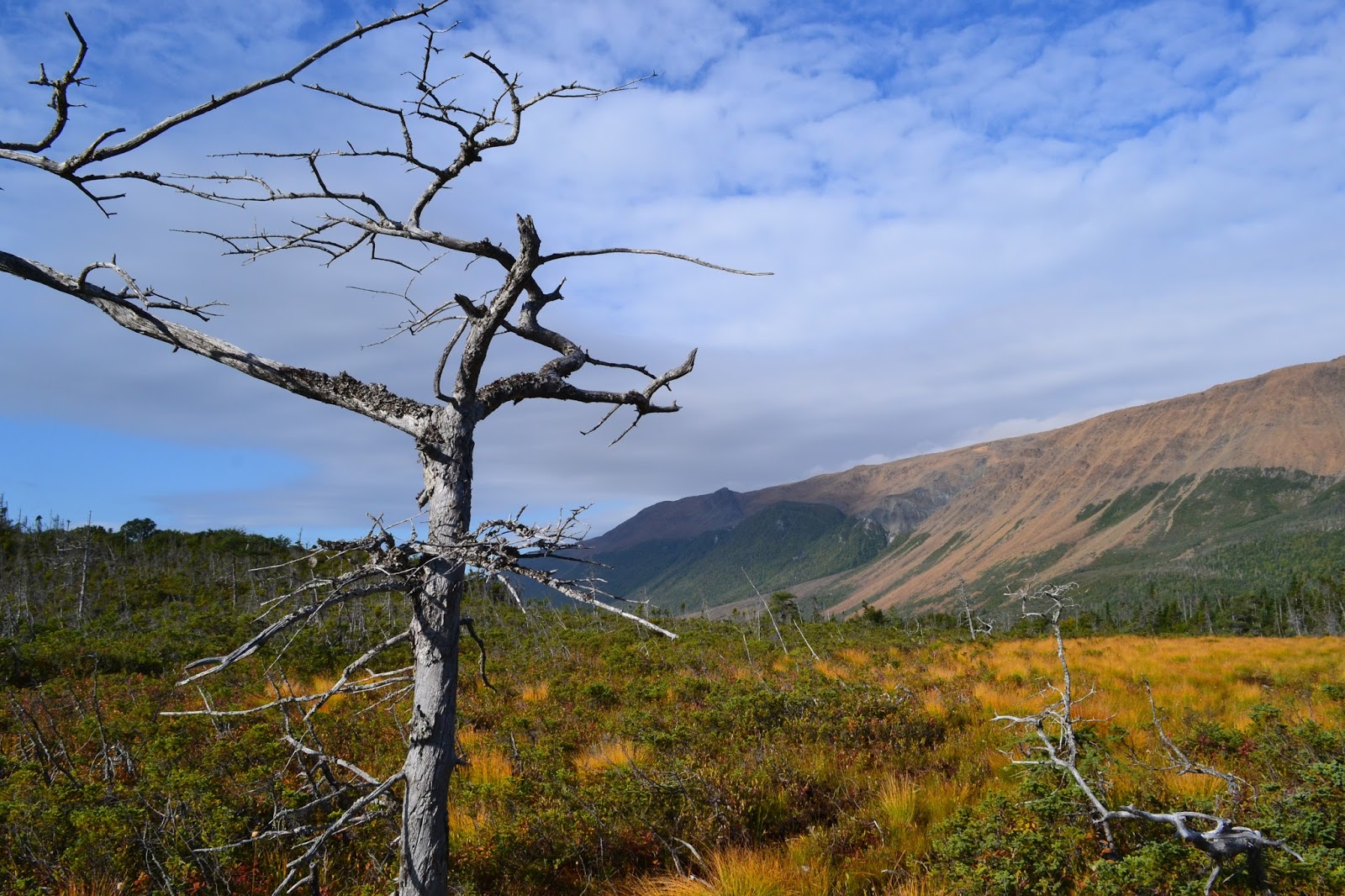
We scrambled up around the waterfall and kept climbing (only stopping to refuel with dark chocolate!) until we made the saddle. The saddle is the easiest place to ‘summit’ from this direction and is where the proposed IATNL/Global Geopark Ultramatrex route would bring you. Views from here are outstanding! On a clear day you can see the blow Me Down Mountains across the Bay of Islands.
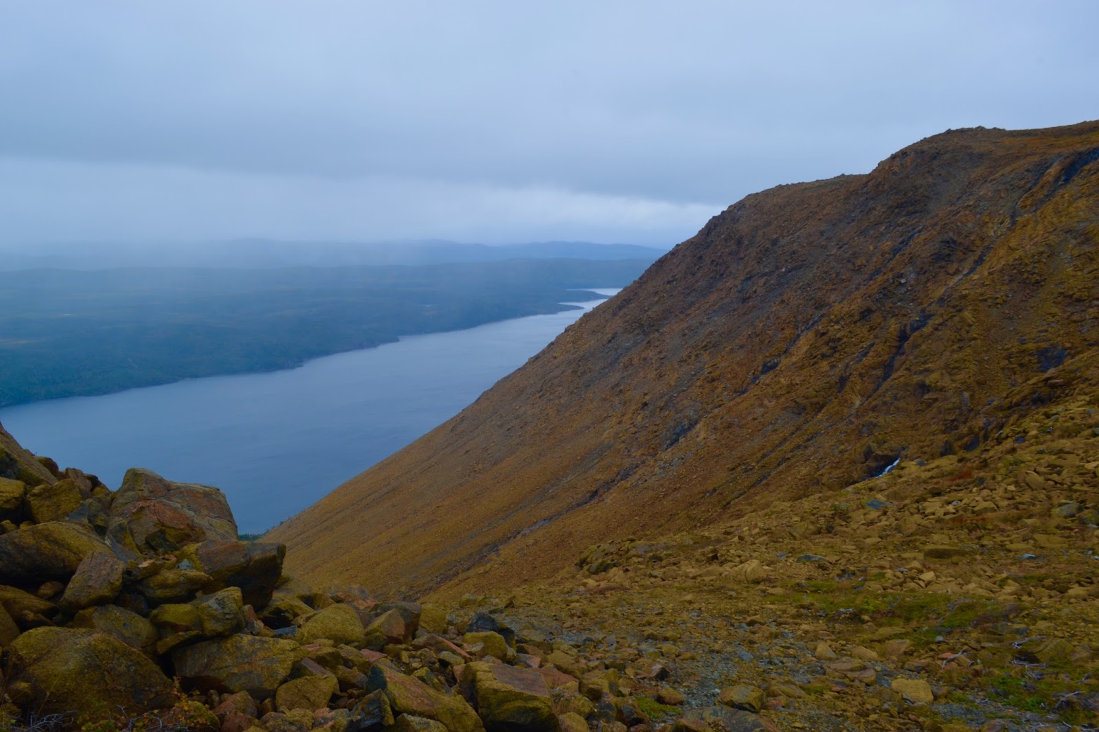
 Our proposed route was going to take us out to Stowbridge Head where the IATNL maintains a backcountry cabin in an old fishing community. We decided from here, that with 6-8km’s to go, only a couple hours of light and an old injury flaring up, we had best be safe and turn around. So we did. Down and down and down we walked. It was almost dark when we reached the crossing (again close to low tide) so we picked a shallow line through the estuary then hunkered down near some cabins.
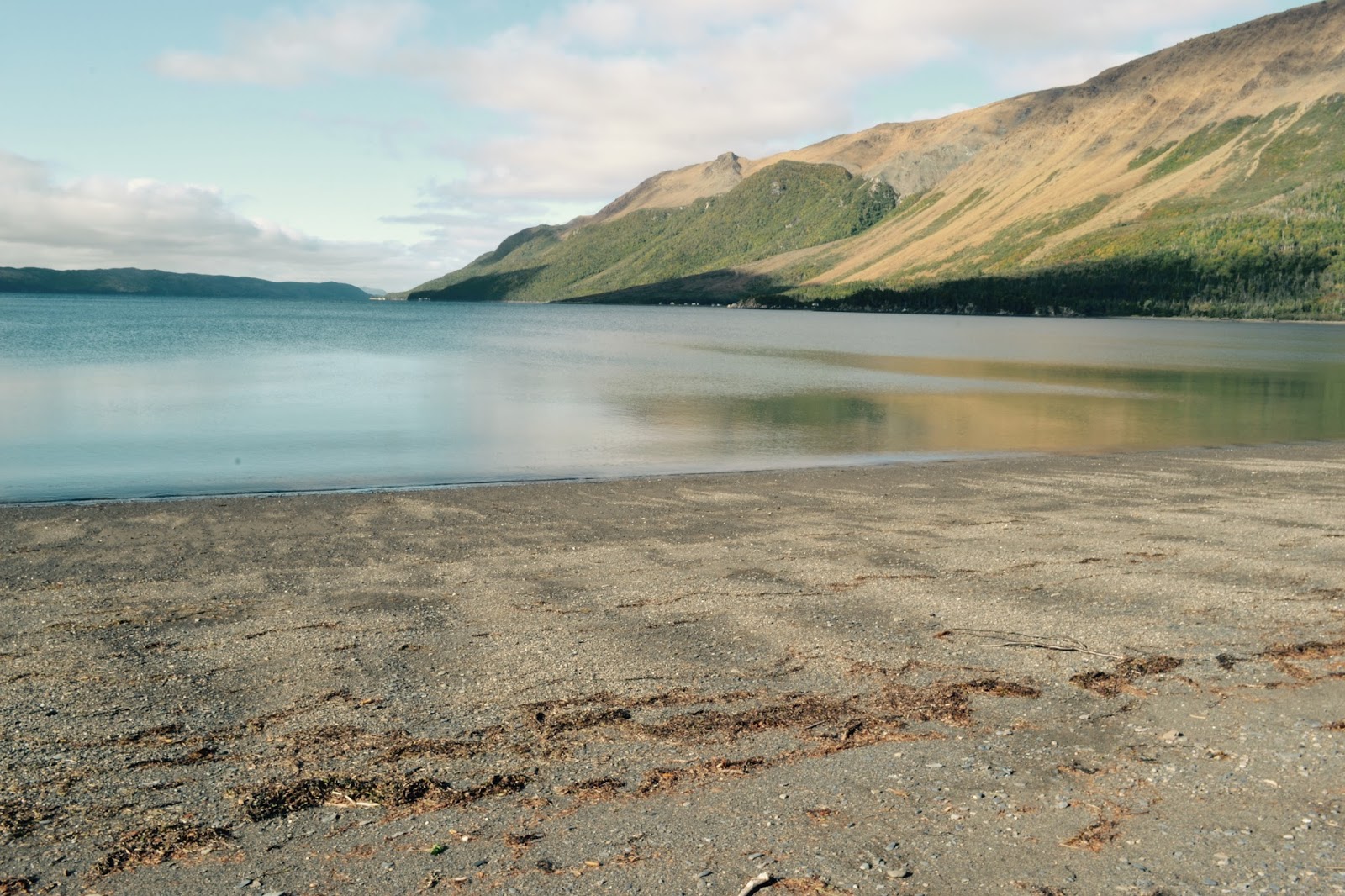
In the morning, we were graced with a blue bird day. We had a slow morning, enjoying the beach, filming some gear review clips, playing with Bubbles and doing some yoga, before we hit the quad trail.
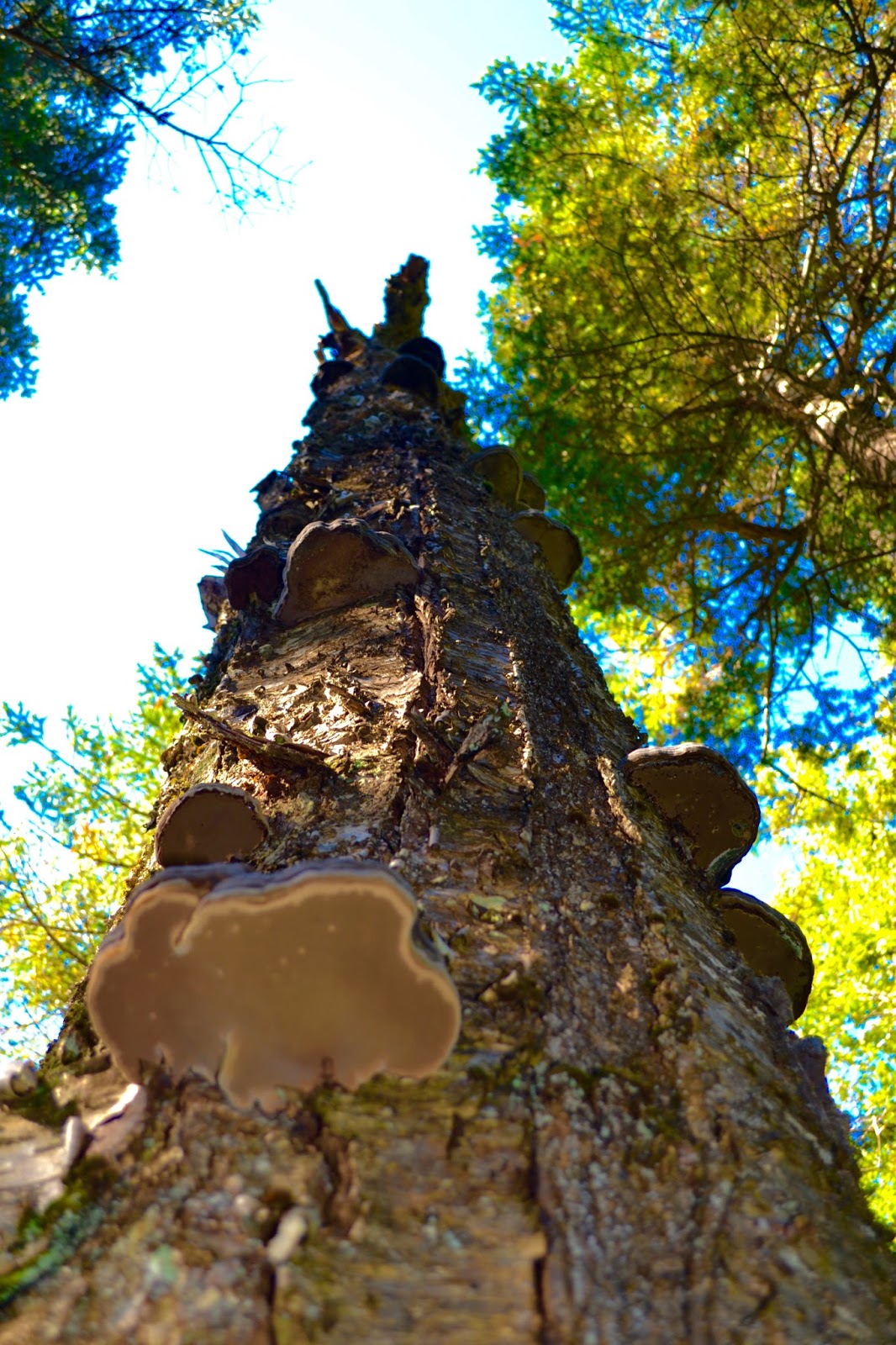
 Meandering our way back up, we thoroughly enjoyed identifying the many types of lichen, fungi, trees and shrubs. Things like turkey tails, bog candle, birch, fir, black spruce, ferns and more.
This weekend was a great adventure. I love nothing more than being outside, walking through the woods, having great company and good food.
Until my next adventure, Happy Trails!