
Another successful multiday trek on the Long Range Traverse. Kate and Ashlee from New York State were visiting Western Newfoundland and wanted to do the trek and have the support and knowledge of a local guide. Below is our route plan, packing list and day by day as it happened trip report. With warm weather and great attitudes, our Long Range Traverse was a huge success!
Day 1 – Welcome to Gros Morne National park
I met Kate and Ashlee at the Visitor’s Centre in Norris Point to check in for our hike. They both showed up with great big smiles, keen to hit the trail.
We had our trek orientation learning that there were a few new obstacles this season – rockslides in the gorge and flood damage at Marks Pond (no campsite). We handed in our pre-prepared route plan, paid our park fees and they each bought a copy of the topo map (12H12).
Kate and Ashlee had reserved a 2 bedroom house in Cow Head on Air BnB (click here to join and receive travel credit). We spent the evening packing, reviewing the route and getting to know each other. I know we’d make a great team out there as the girls had all the right gear, were strong and fit and ready to learn.
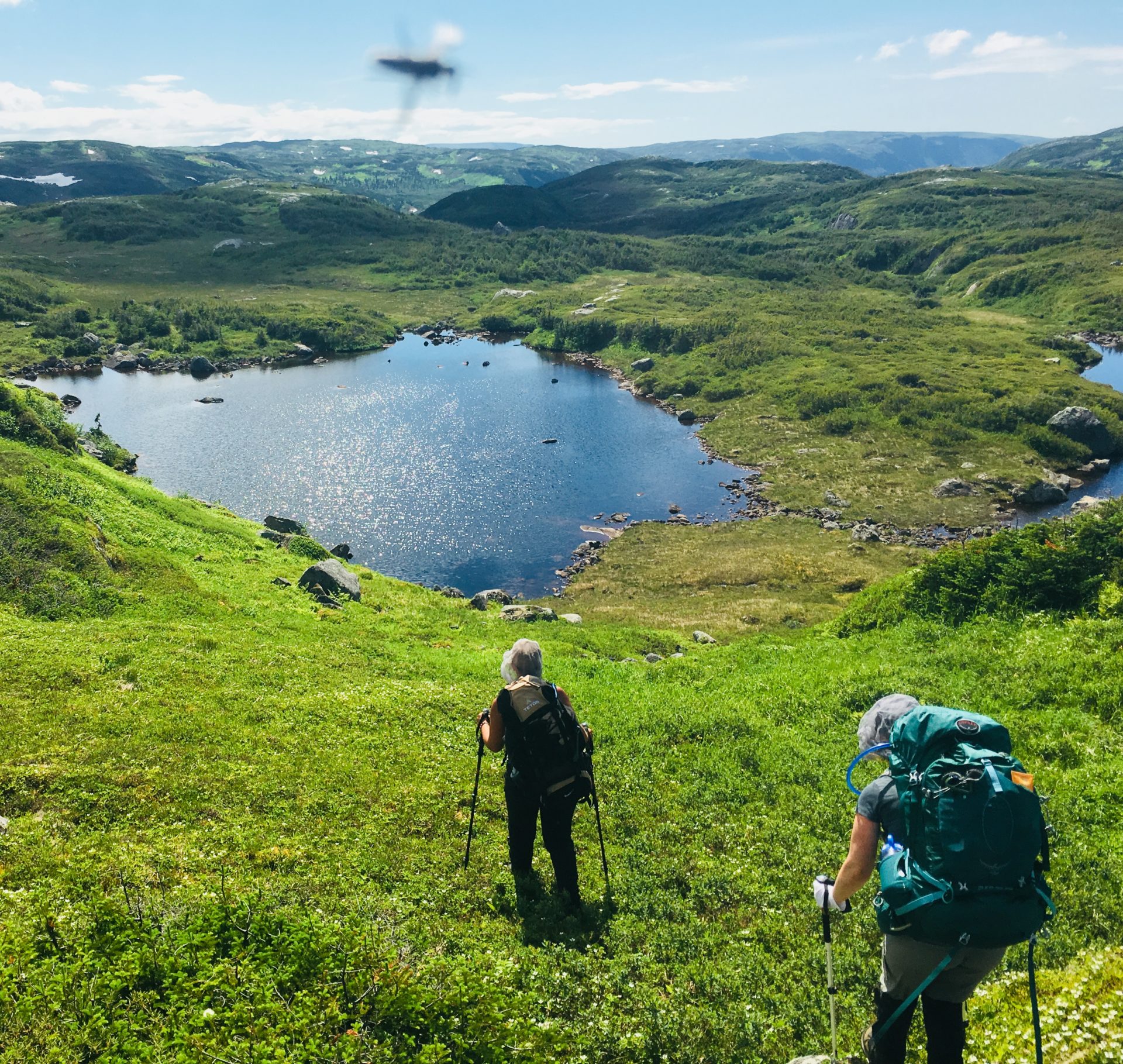
Day 2 – Western Brook Pond to Little Island Pond
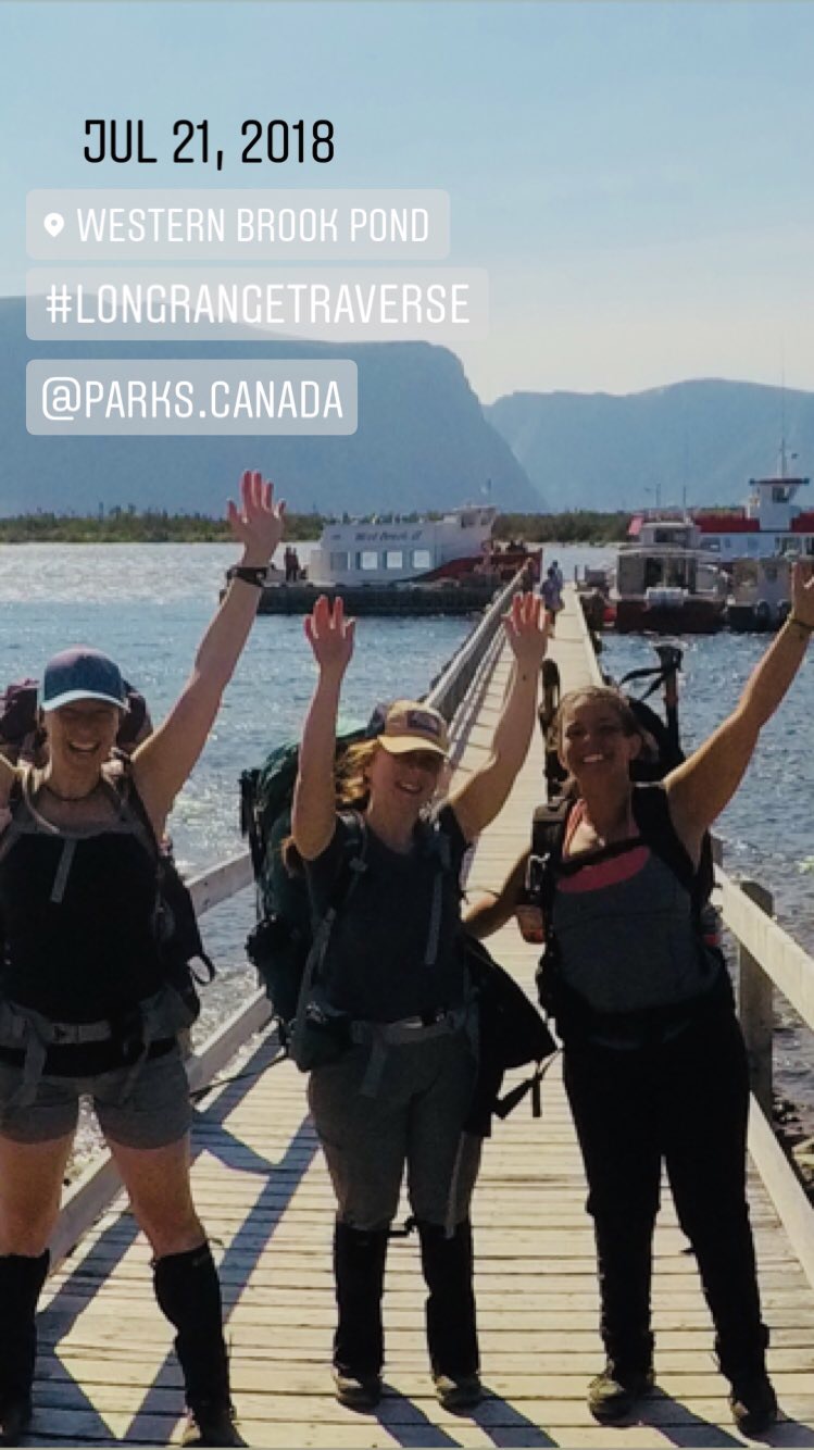
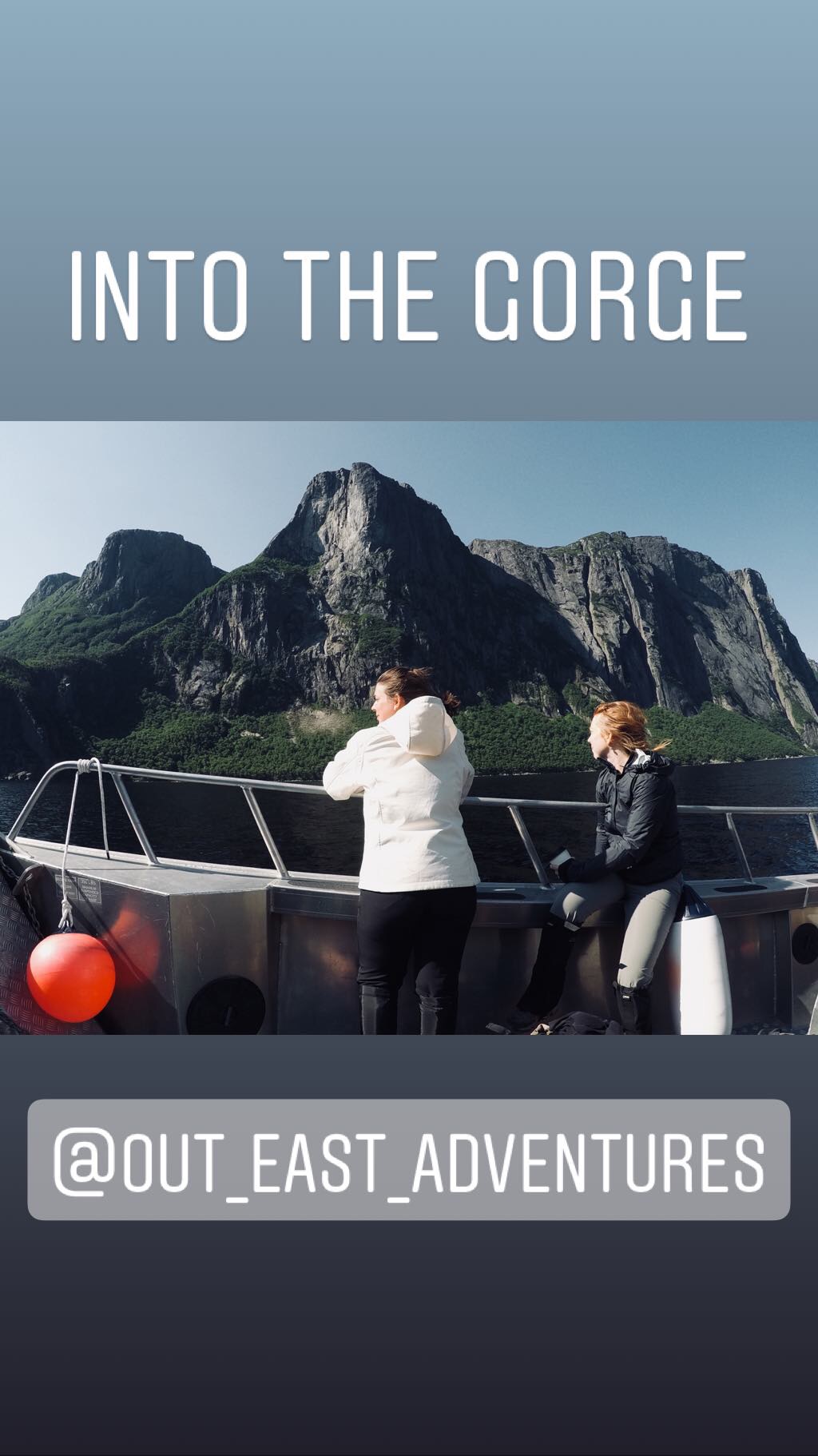
9:30 am – at the dock, check in and pay tickets for high speed shuttle transfer (via Out East Adventures)
10:20 am – arrival at the back of the pond, unloaded the boat and prepared to hike
10:40am-1pm – hiked through the gorge, following the main brook (dry in places) throughout the forest. Crossed the new landslide on marked route. stopped at the base of the waterfall for a swim and picnic lunch. flies = maggoty!
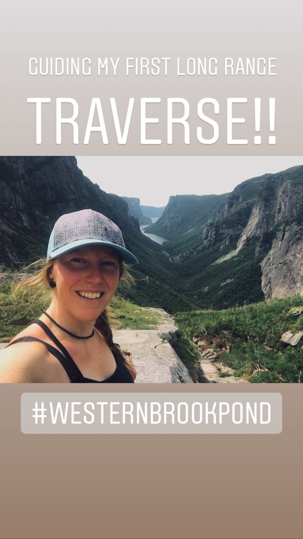
2-3:30pm – climbed the hikers right of the waterfall on somewhat of a trail up to the lookout (with the amazing view) –>
3:30-4:15pm – swim and snack at the top of the waterfall
4:30-6:30pm – hike from swimming hole to Little Island Pond (waypoint LR5). Kate and Ashlee navigated with map and compass (192 degrees) and found a route to the campsite.
6:30pm – set up camp and dinner. all in bed by 10pm!
- Total Distance: 7.46 km
- Elevation Gain: about 650 m
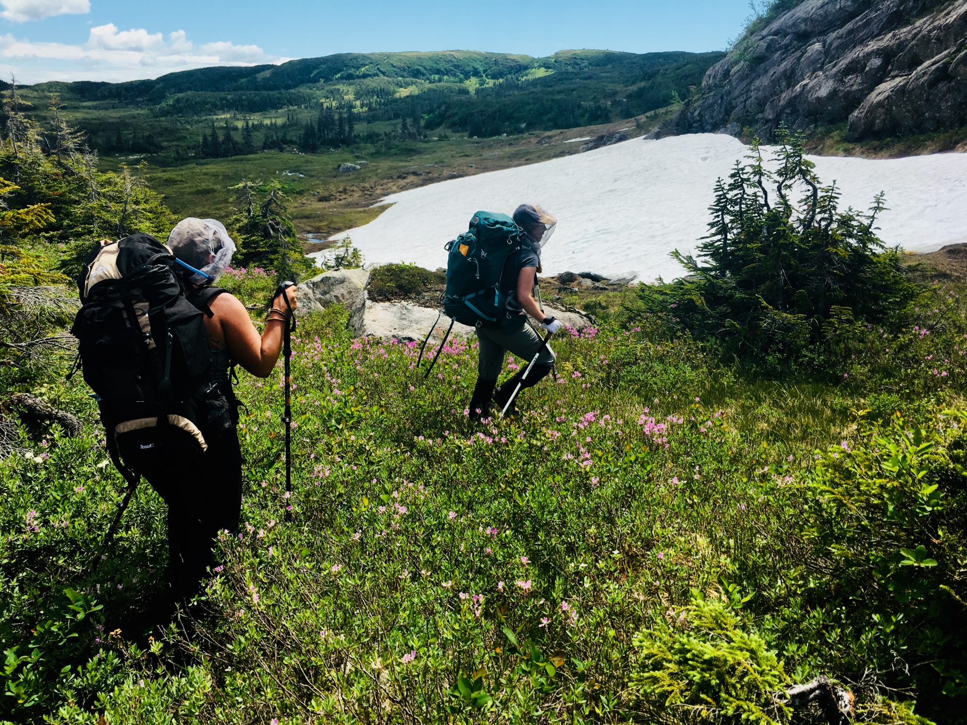
Day 3 – Little Island Pond to Green Island Pond
12pm – arrival at Mark’s Pond and crossed the Big Island Steadies. Followed route towards Harding’s Pond.
2:30-3pm – stop for lunch in the valley above Hardings Pond. Discussed route options and decided to try a more ‘direct’ route and some compass navigation (236 degrees).
3-6pm – was spent route finding along valleys W/NW of Hardings Pond. down and across between muddpot Pond and Bakers Brook Pond.
6pm – rejoined the trail at Middle Barrens. followed GPS track to within 500m of Green Island Pond when thick fog and darkness required us to wild camp at 21U 0449339 E / 21U 5495157 W at 9:30pm
9:30pm – set up camp and dinner. all in bed by 10:30pm!
- Total Distance: 18 km
- Elevation Gain: about 100 m
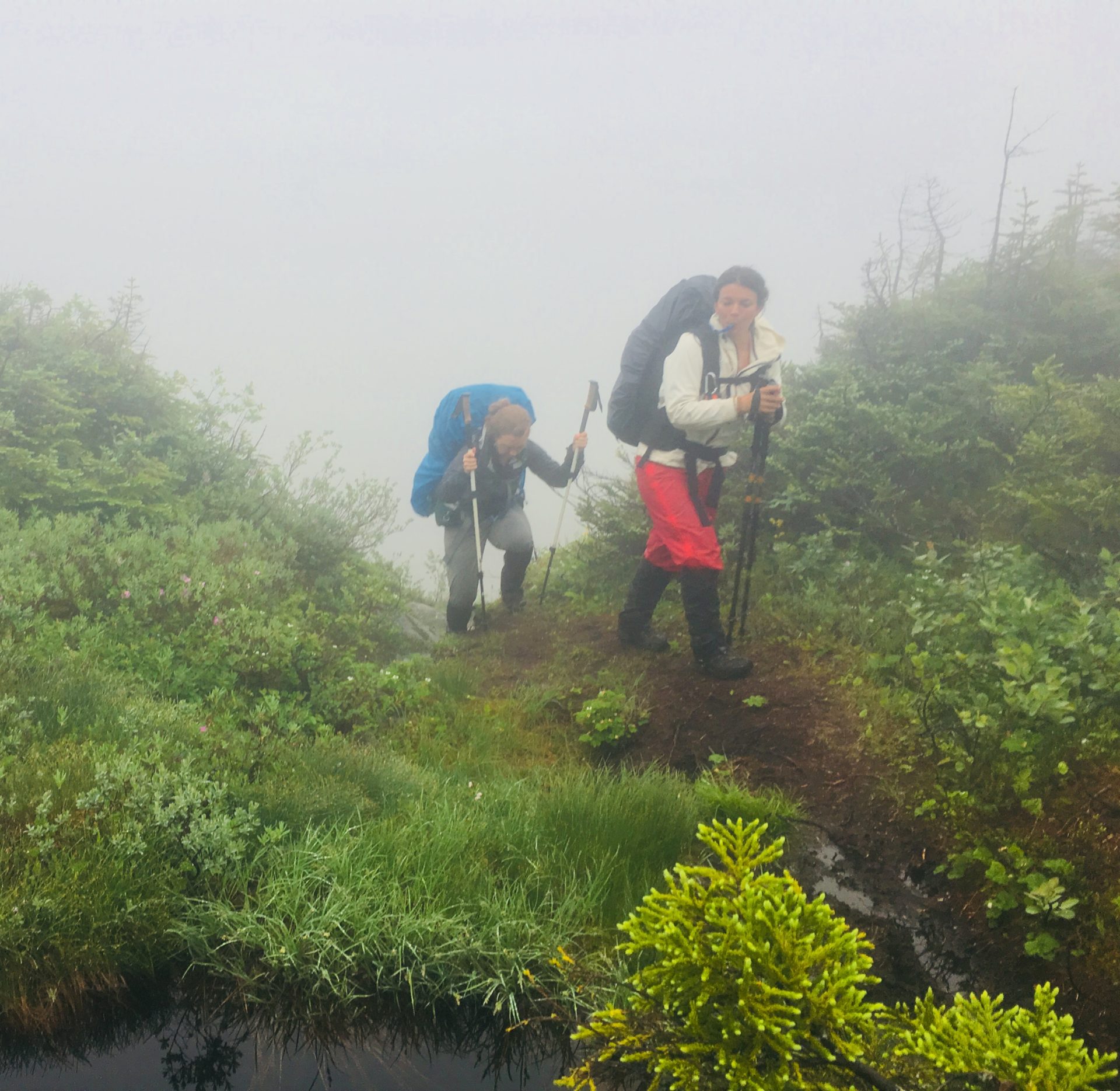
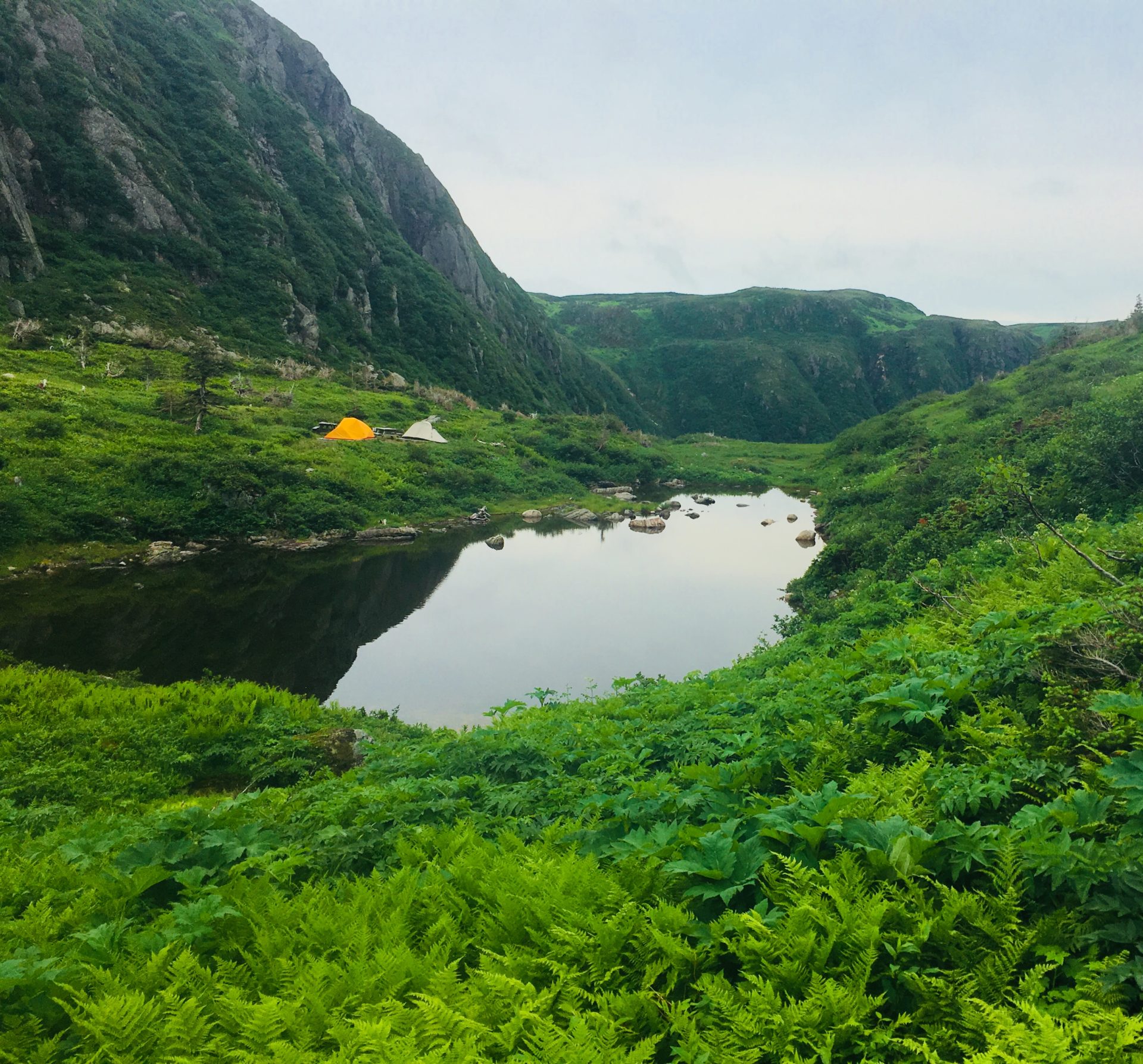
Day 4 – Green Island Pond to Ferry Gulch
9 am – group decided to wait out the rain (expected to stop mid afternoon)
12pm – Katie called Will to check in (as planned) and get weather report. Forecast: 5-10mm, winds 20km/h gusting to 40km/hr, rain ending this afternoon and fog dissipating overnight. sun set at 9:15pm.
3pm – rain stopped and visibility increased to about 40m. decided to pack up and trek to ferry gulch. hiked using GPS track to navigate. waypoints LR14A is a trail sign marking the new route down into Ferry Gulch. New route is much safer, less steep!
9:30pm – arrival at Ferry Gulch, set up camp, eat dinner in the dark and sleep!
- Total Distance: 8.8 km
- Elevation Loss: about 200 m
Day 5 – Ferry Gulch to Gros Morne Mountain Trailhead
8:30-9-30am – breakfast and debrief of trip. Kate and Ashlee will hike Gros Morne Mountain trail (clockwise summit loop) before hiking out. Katie will hike out directly.
9:30am – kate and Ashlee hiked out for their loop and katie followed about 10am enroute to trailhead. smooth sailing for all.
12pm Katie at trailhead. drove to Visitors Centre to update them on Kate and Ashlee’s late arrival (about 4-5pm)
4pm – Ashlee texts Katie they are out!
- Total Distance: 6 km
- Elevation Loss: about 400 m


Kate and Ashlee’s feedback to me was very positive. I am so grateful they found me (through this very blog!) and were giving me the chance to achieve something I have always dreamed about – guiding in the backcountry! I know they had an amazing trip and have many souvenir fly bites and bruises to take home as well as amazing pictures and memories. This place is special and there is no better way to experience all that Newfoundland has to offer than trekking through it’s wildest and most beautiful places!
Long Range Resources

