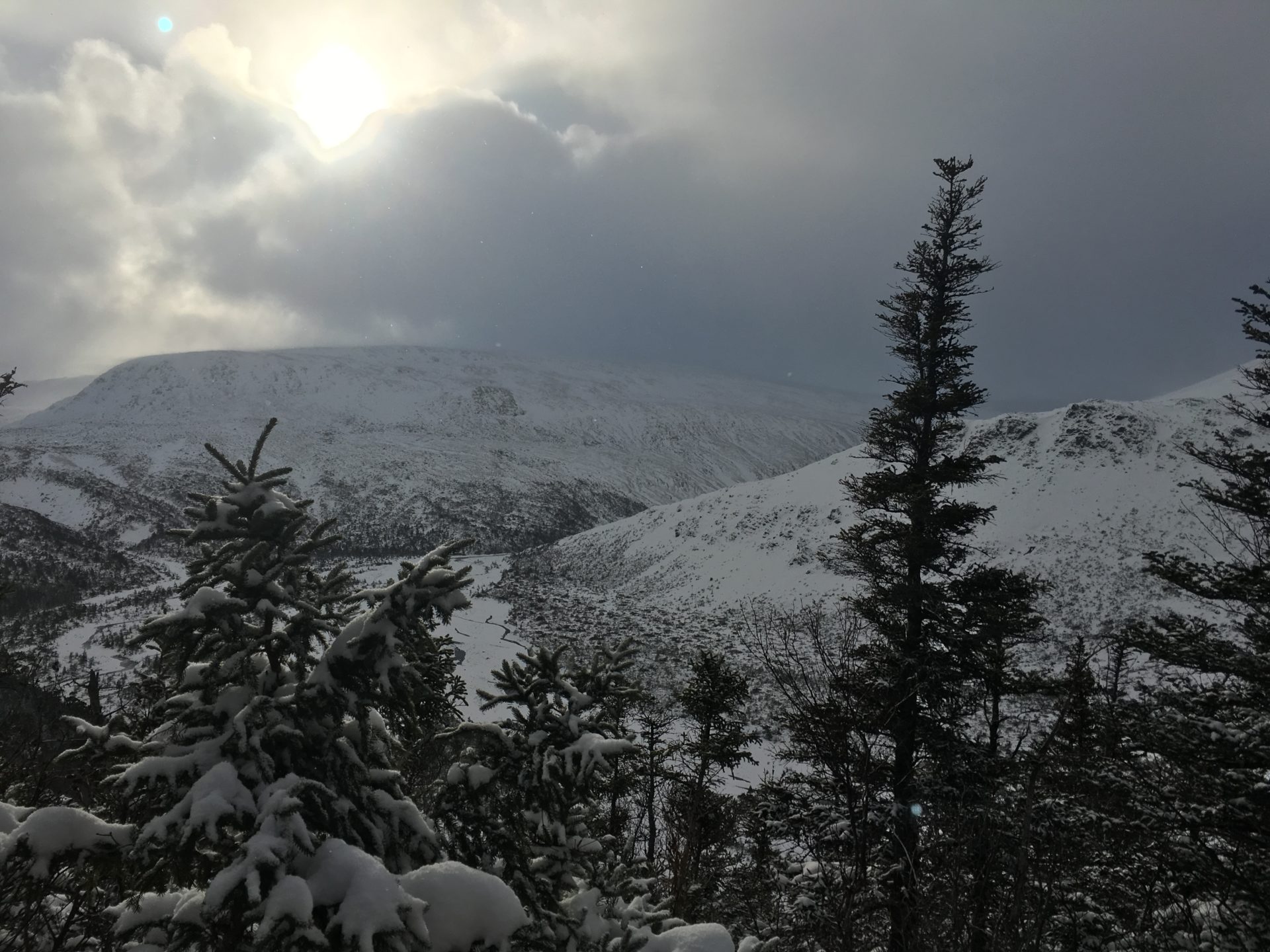
An exploratory snowshoe adventure on the Hummock Trail into Blow Me Down brook was a success! I had not been in here for 6+ years, never in the winter, and had gone no further than the Hummock lookout.
Thankfully, the trail was still pretty well flagged with IATNL neon pink (we added a few more) and there are many old IAT blazes still scattered throughout. It was pretty easy to follow, although there are many blowdowns and low hanging branches. Just beautiful, dusted with new fallen snow.
It took us just under 4 hours to snowshoe the 3.5km to Blow Me Down Brook (about 7km return), including breaks, lunch, and photo stops. This trial made for a great outing with fabulous views!
Trail Notes
Park on Saltwater Road.
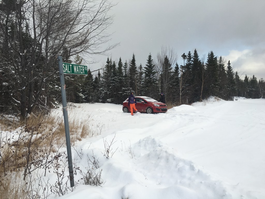
Cross Route 450 and continue on the snowmobile track.
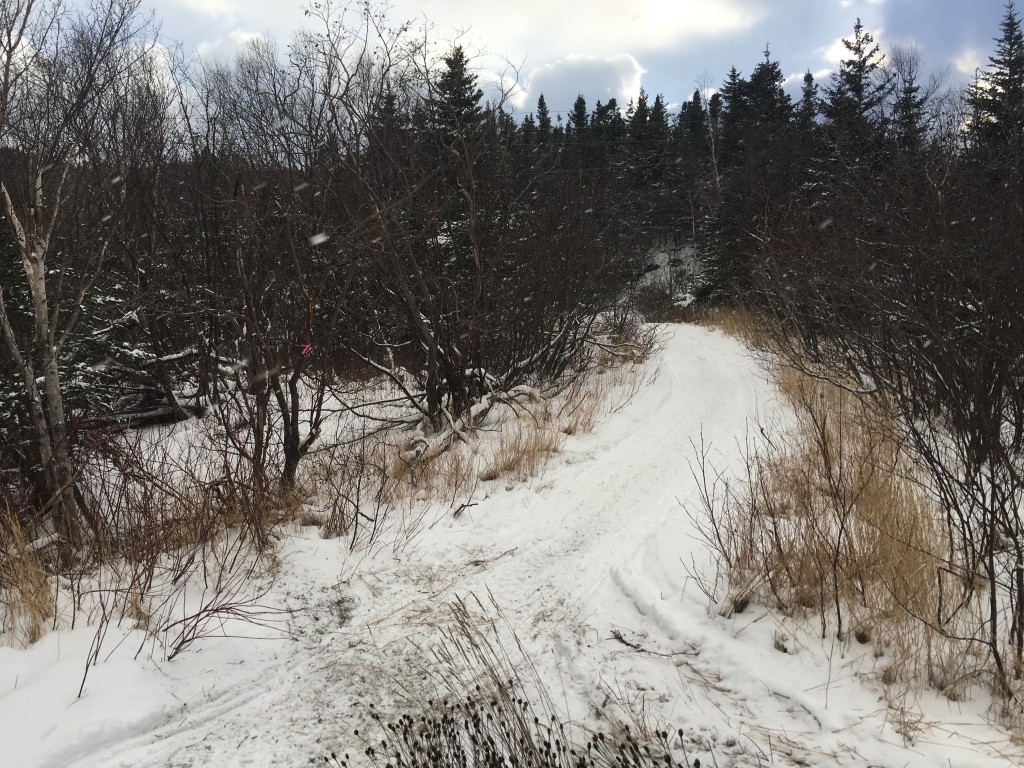
The trail heads to the right and comes very close to a house, stay on it and follow to the left. From here, stay on the trail/snowmobile track.
At the first fork, stay left. At the second fork, stay right. At about 1.75km (just before a pond) look for the pink flagging tape on the right and head into the woods (see map below for reference). Almost right away, you will have to cross a small stream. Follow the trail and flagging tape until you come out on the open bog.
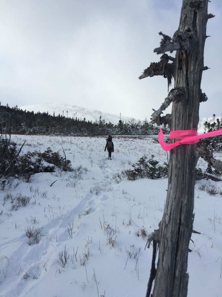
Staying straight on the bog and following the pink flagging tape markers, go about 400 metres and you should see the trail head into the forest again on the left at the far end of the bog.
Follow along until the fork at the first lookout. From here you can see back to Blow Me Down peak and the Bay of Islands. Continuing on, you come to another lookout within 50 metres with views of Blow Me Down brook, and the peridotite sections of the Blow Me Downs.

Unless you plan to head further into the Blow Me Downs, lookout #2 is a great place to enjoy your lunch or snack, then return back the way you came. If you continue down to the brook, be aware this last section is VERY steep and slippery.
Want to hike another trail nearby?
Click here for a post about the trail around the corner!
Below is a map of the trail to give you the general “lay of the land”. Please note, there is NO loop at the end, this is a GPS error due to cloud coverage.
The map above is not intended for navigational purposes. Mapped using Terra Map Pro – Canada Version 5.4 (iOS App) and imported to Google Maps.
Awesome snowshoe adventure in one of my favourite places in Western Newfoundland.
Where is you favourite spot for a snowshoe adventure? Share in the comments below!
