
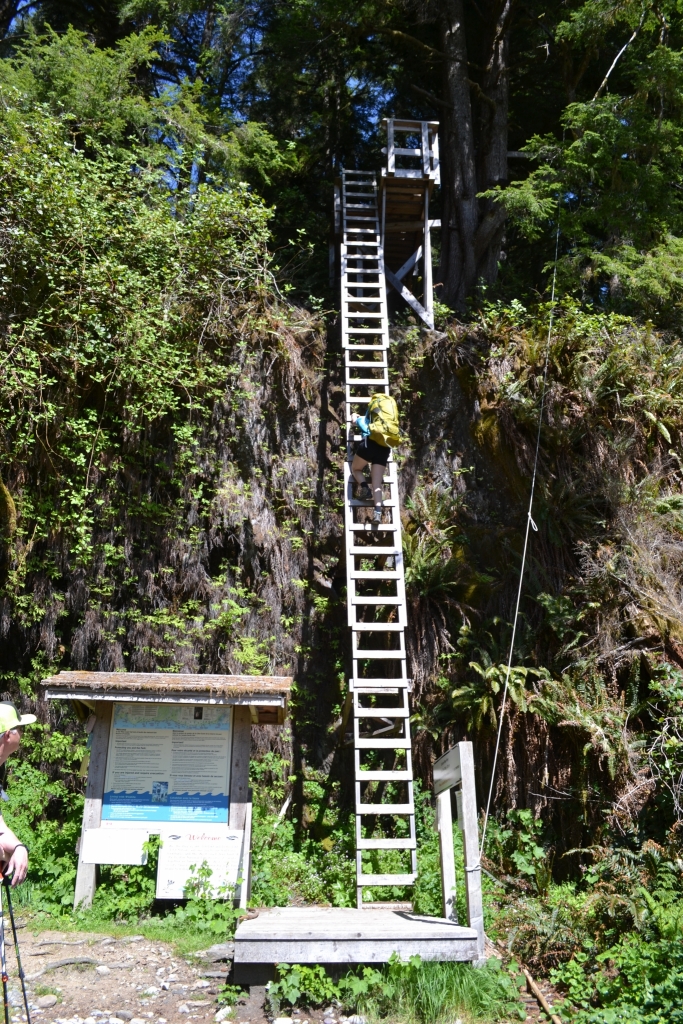
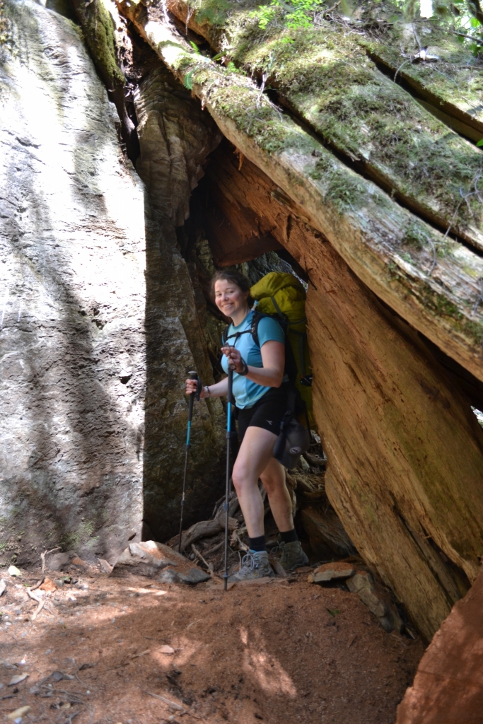
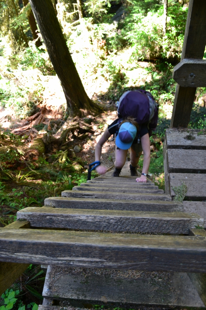
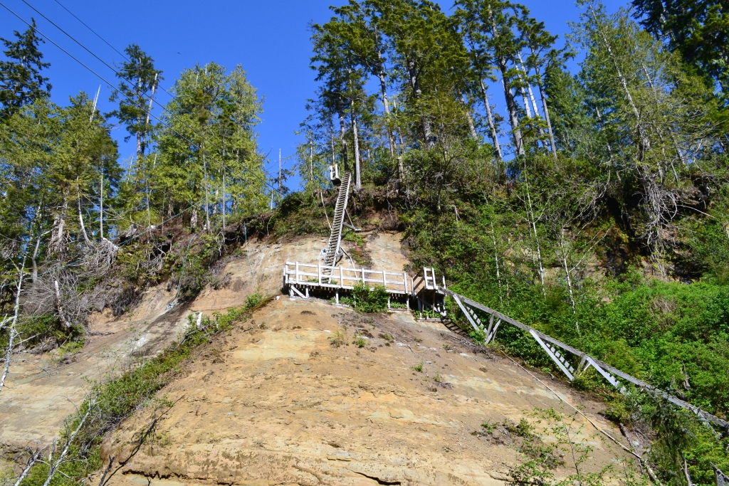
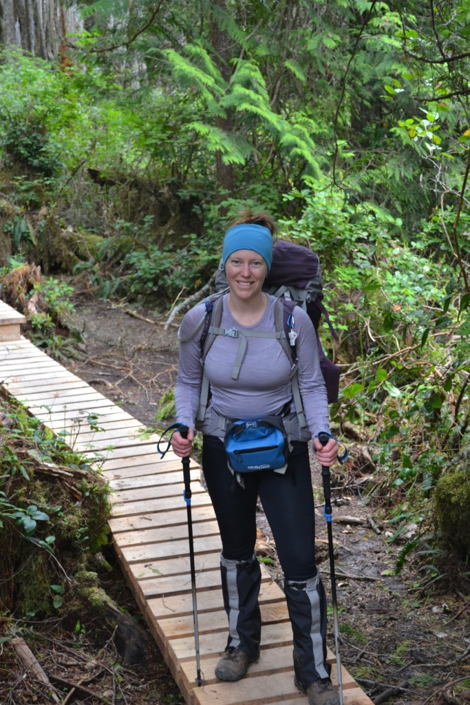
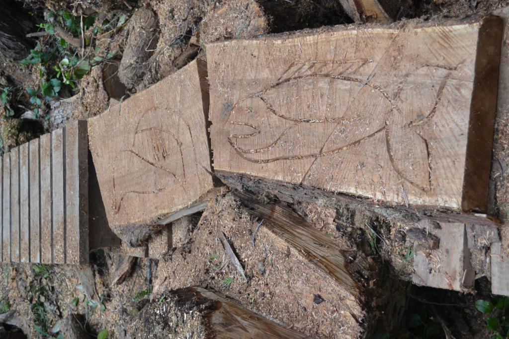
We are so happy with our decision to hike the West Coast Trail South to North. Over the 75 km there must be over 100 ladders. It’s ideal to get those out of the way early on and enjoy the rest of the hike!
Ads are how we keep our blog free for you to enjoy. We also use affiliate links; if you make a purchase through them, we may receive a small commission at no cost to you.
Looking for more long-distance hikes? Check out these other posts:
About the West Coast Trail
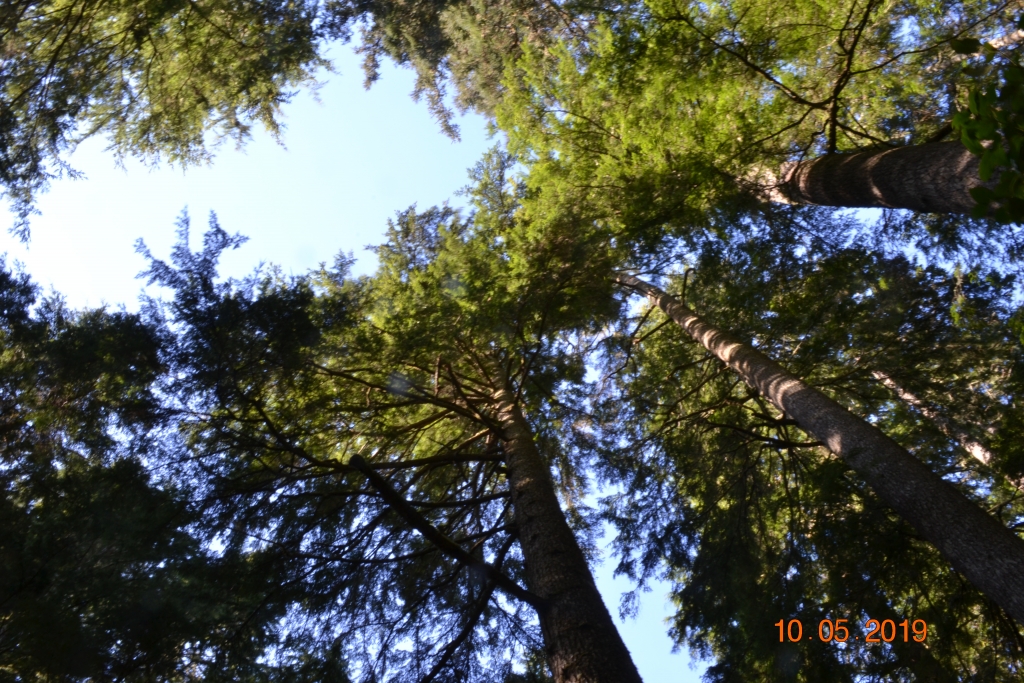
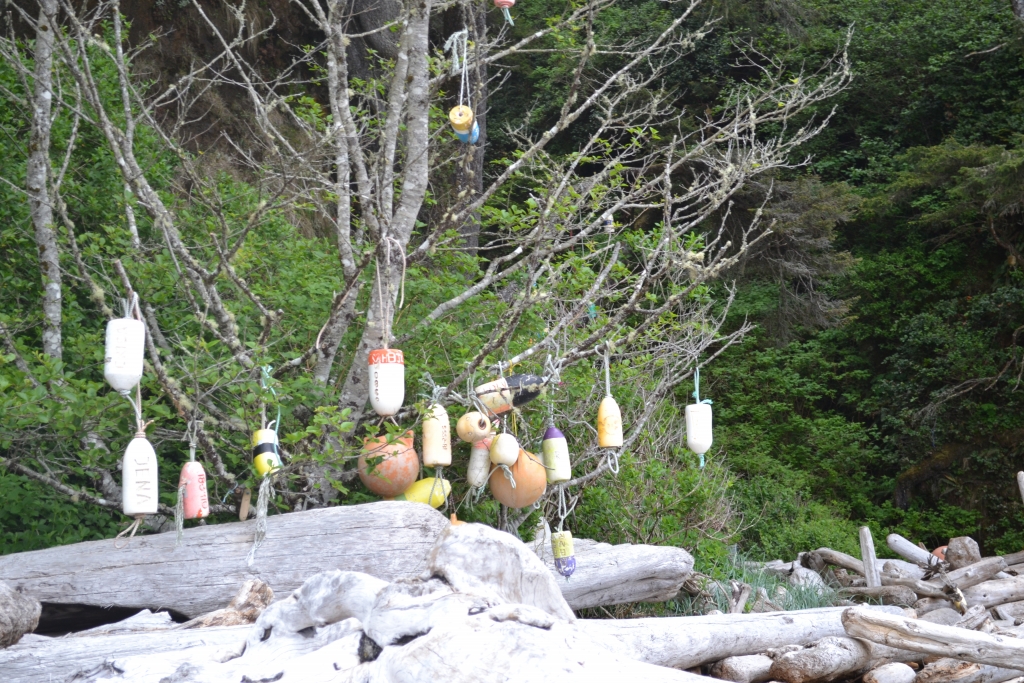
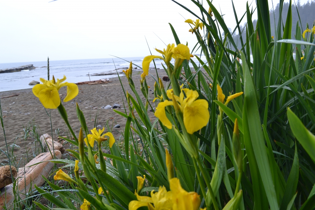
Shipwrecks dot the sea floor along the trail reminding us of the rough history that carved this survival route into the coastal rainforest. Lighthouse to lighthouse it twists and winds its way between the forest and the coastline. Originally a telegraph line maintenance route, the trail was maintained through the early 1900’s to assist shipwreck survivors in escaping the pounding Pacific coast. Now this trail exclusively sees hikers. People come from all over the world to experience this great Canadian trail that elegantly showcases our massive coastal rainforest and traditional Indigenous territorial lands.
Planning our West Coast Trail South to North Trek
When to Go
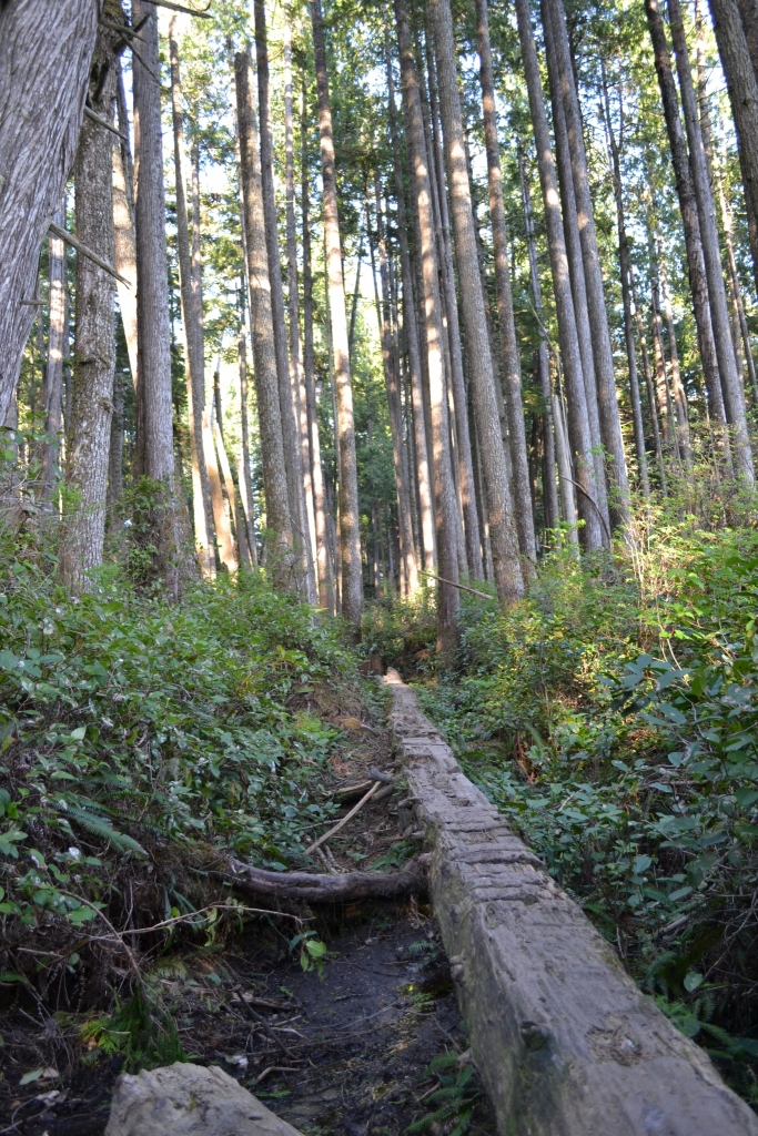
We booked our permits back in January, taking a total gamble on the weather and WON! 5 days of sunshine or clouds and just 1 day of drizzle at the very end. May was lovely! Warm and sunny, but not too hot. Very few hikers on the trail yet meaning less traffic at ladders, cable cars and campsites as well as just a general feeling of remote and wild. May’s challenges can be the spring rain but also damage from the winter may not be cleaned up yet so many trees had fallen and this required some bushwalking and minor detouring. Boardwalks and ladders are also just getting fixed, so you have to go carefully.
May 9-14 was our 6 day hike days, but the total trip was May 8-15 due to needing a day to get in and a day to get out, so 8 days/ 7 nights total.
Logistics
Getting in and out of the trail does require some advanced planning.
- For ease, use the West Coast Trail Express Shuttlebus to get in and/or out from the trail. Pricey, but easy.
- For cost savings (if more than 2 people), run your own shuttle with 2 vehicles or leave your vehicle at the end and shuttle back to the start.
- The shuttle runs through the active logging areas inland from the trail. Roads are rough and require good clearance to get through. Full details here.
You can camp at each trailhead.
- Port Renfrew (South end) – We stayed at Pacheedaht Campground.
- Bamfield (North end) – We stayed at the Bamfield Centennial Park campground to be near the town (for hot meals and stuff to do).
Route planning is always important for a multiday trek. Plan the days out in advance to help with scheduling the bus and so you can leave the plan with someone who can activate help if you are 24-48 hours delayed. Always make a plan B, so you can be flexible and flex as needed along the way to allow for a safe and enjoyable trip. Here’s my post about Planning to Hike the West Coast Trail.
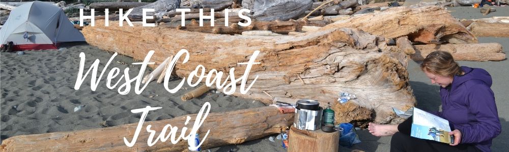
Hiking the West Coast Trail: 6 Days, 75km, and a Whole Lot of Ladders
Day 1 – Gordon River to Campers Bay – 13 km – 8 hours
Weather: ☀️ 20°C
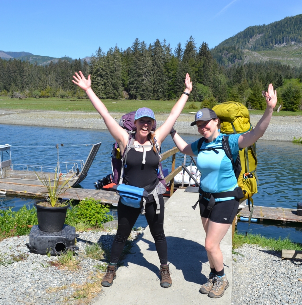
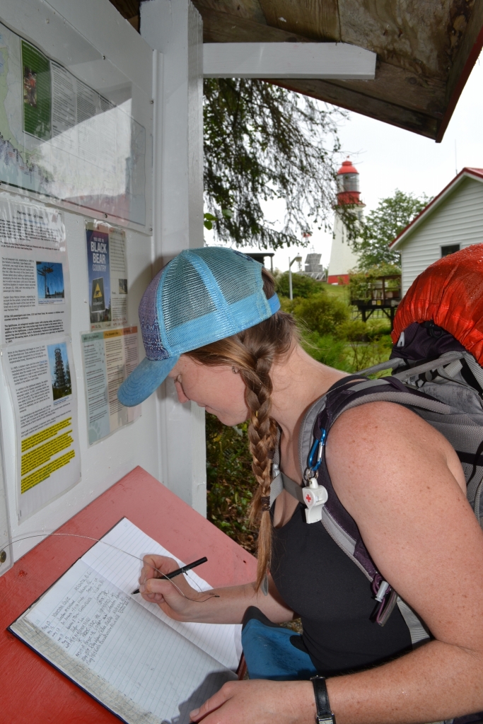
We were instantly glad we started at this end. Despite moving slower than our ambitious 2km/hr pace (actual speed: 1.6km/hr—crushing it), we made it to Campers Bay before dark. After orientation at 10am, a quick ride on the Butch’s Wharf ferry by 11:30, and boots on the trail at noon, we were off.
The trail wasted no time introducing us to its charm: a 50-foot vertical ladder straight out of an obstacle course. If that made your palms sweat just reading it—turn back now. Personally, I like the ladders. They save the environment from erosion and us from face-planting down a cliff. Up and down we went—like a weird hiker-themed amusement park, minus the funnel cakes.
The forest was thick, the ground uneven, and our mantra quickly became “HEY BEAR!” since bears apparently hear about as well as I do at a noisy restaurant. Better to shout than surprise one snacking on berries.
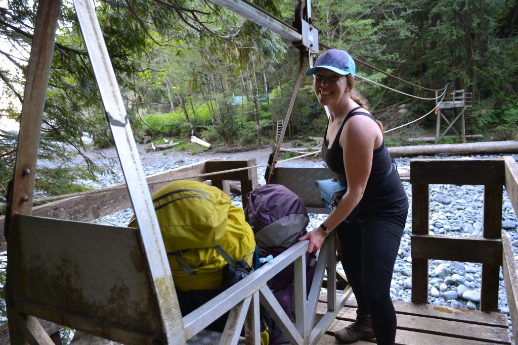
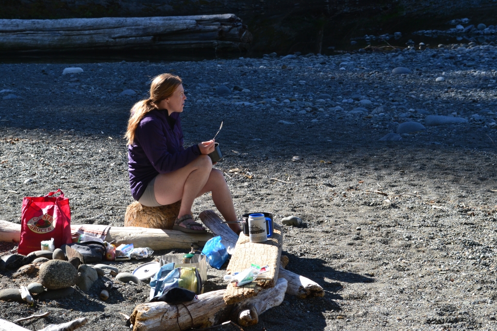
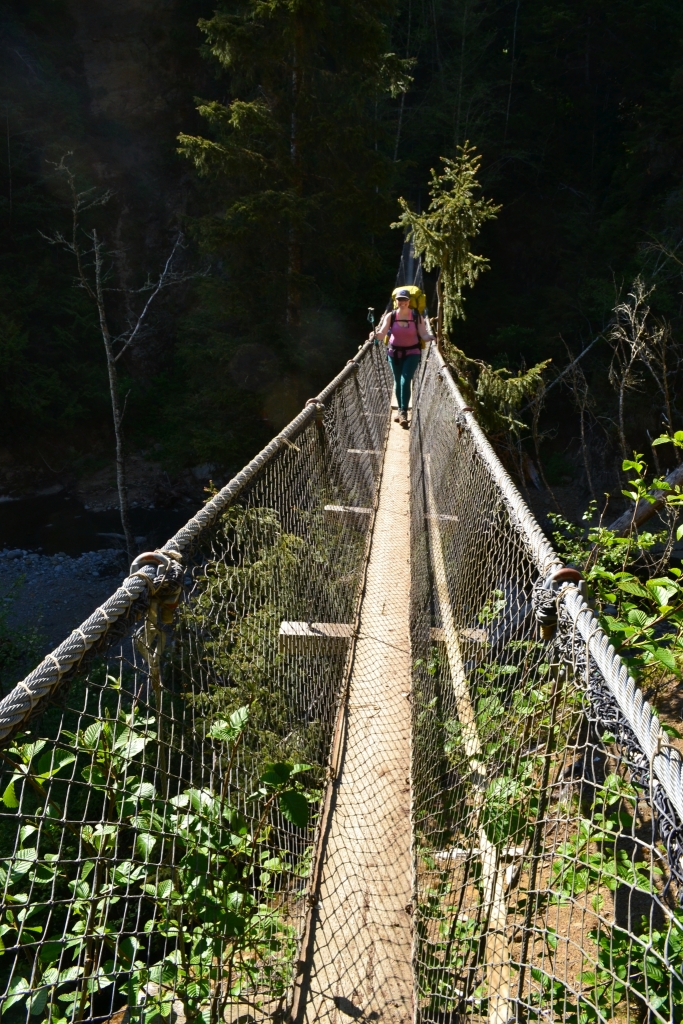
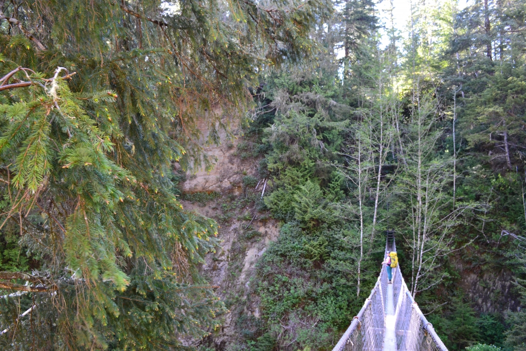
Campers Bay greeted us with our first cable car crossing—10/10, would recommend. No soggy boots, just a pulley system that feels vaguely like summer camp. The campsite had both beach and forest options, clean water, and even ocean views at sunset. Not a bad end to Day One.
Day 2 – Campers Bay to Walbran Creek – 9 km – 7 hours
Weather: ☀️ 20°C
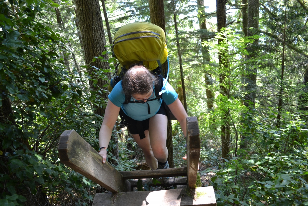
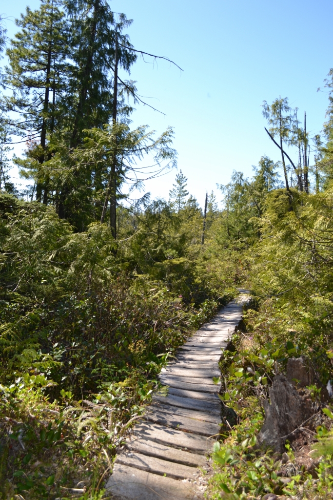
With fewer kilometers ahead, we enjoyed a slow breakfast and hit the trail by 11am. More ladders. More bridges. More up, down, bog, and boardwalk. This trail is the full buffet of terrain, and carrying a 45-pound pack through it all left me sore in places I didn’t know existed.
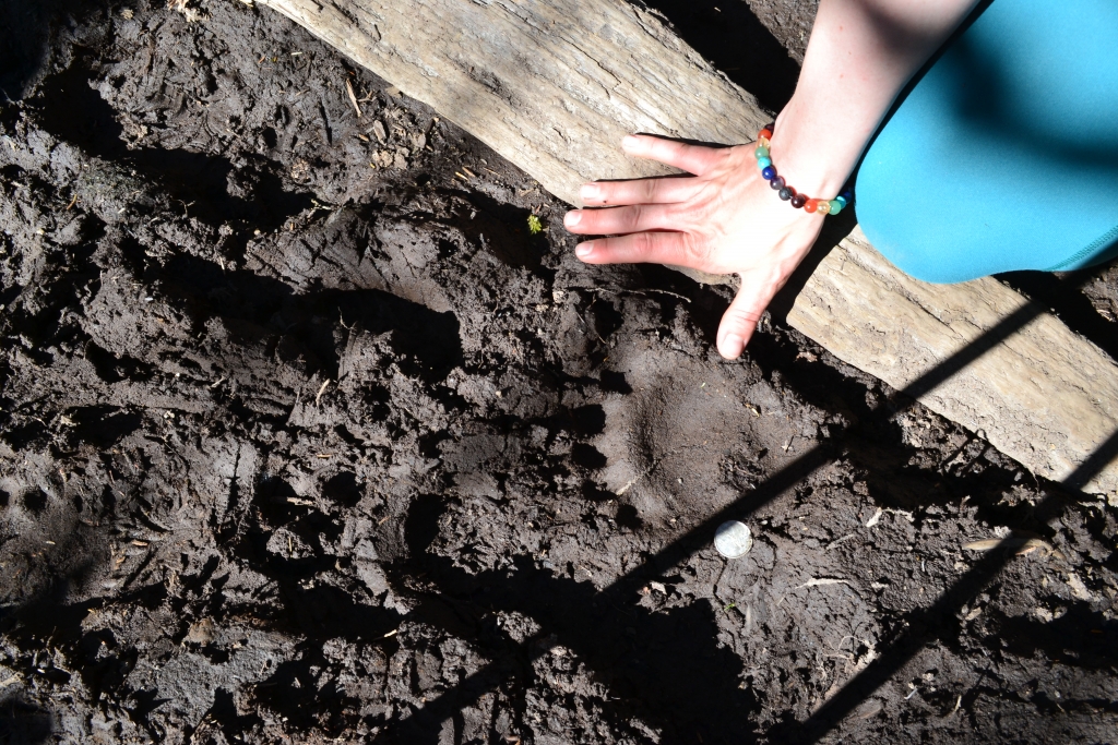
The trail tossed us another adrenaline spike mid-afternoon: bear tracks near the suspension bridge. Fresh ones. We named the bear “Thrasher” (because why not?), prepped our bear spray, and belted out some truly awful songs. He must’ve heard the pitch and decided we weren’t worth it.
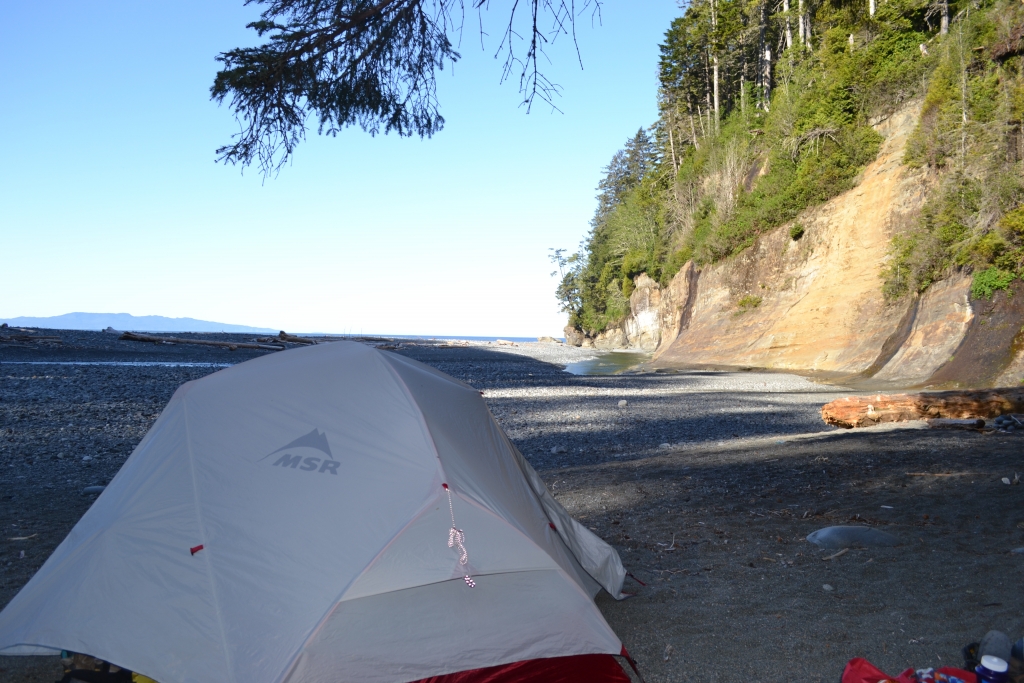
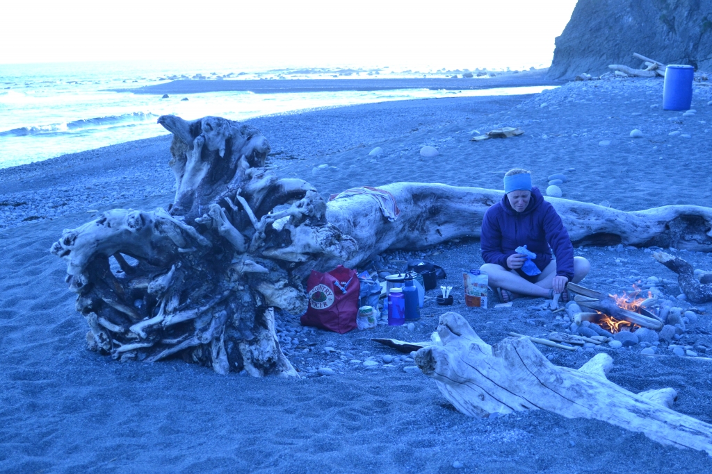
We rolled into Walbran just as fog hugged the coastline. Nobody else around. Prime beachfront real estate for two. A cozy fire, foggy air, and early bedtime capped off a surprisingly peaceful day.
Day 3 – Walbran Creek to Cribbs Creek – 11 km – 6 hours
Weather: 🌫 15°C
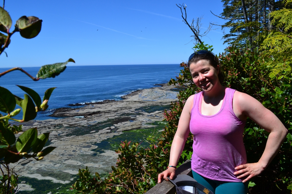
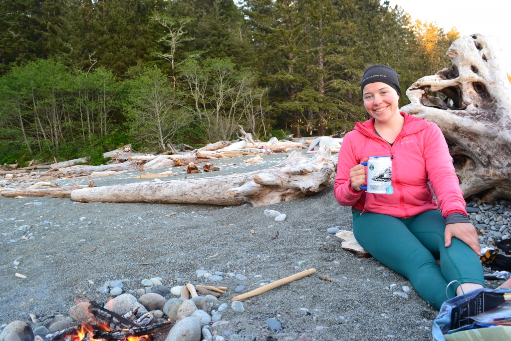
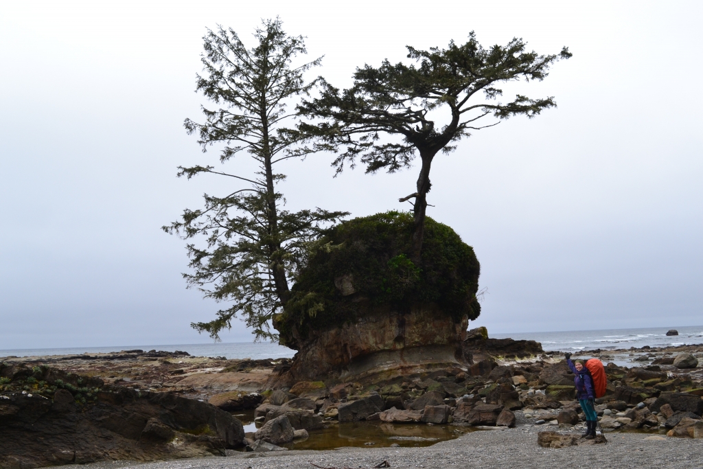
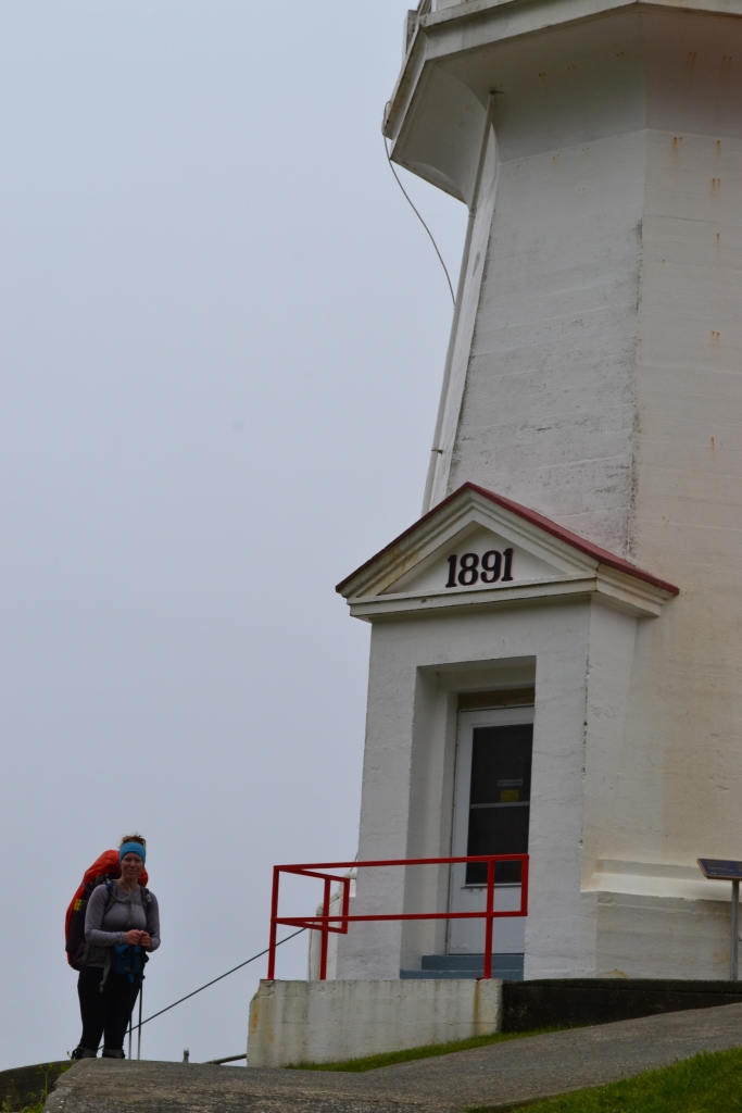
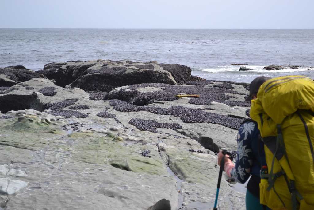
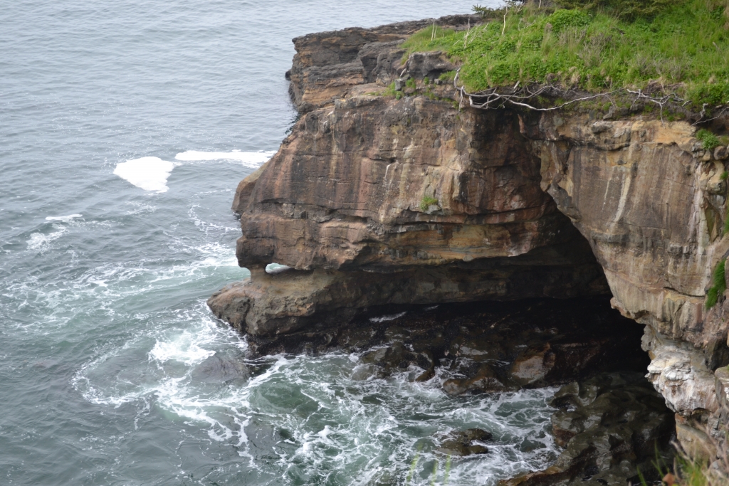
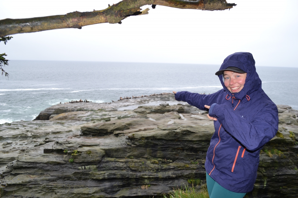
Fog and cooler temps made it perfect hiking weather. We were up by 6:30 and moving through a peaceful morning alive with eagles and ducks. This was our first day hiking shoreline, and it delivered: slick rock shelves, sandy beach, and the sounds of sea lions echoing from Carmanah Lighthouse.
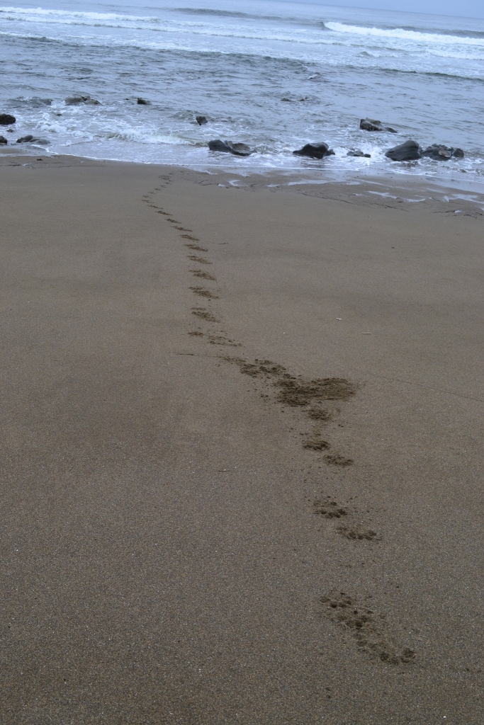
We spotted a grey whale feeding near Vancouver Point. Later, we came across a beach littered with wolf tracks—straight from forest to surf. Possibly some raccoon or otter prints, too. It was like walking through an animal crime scene, minus the forensics.
We reached Cribs Creek by 3pm. Other hikers joined us that night, including two guys from Boston who shared a very recent bear encounter. Comforting? Not really—especially with tomorrow’s “Wildlife Zone” looming.
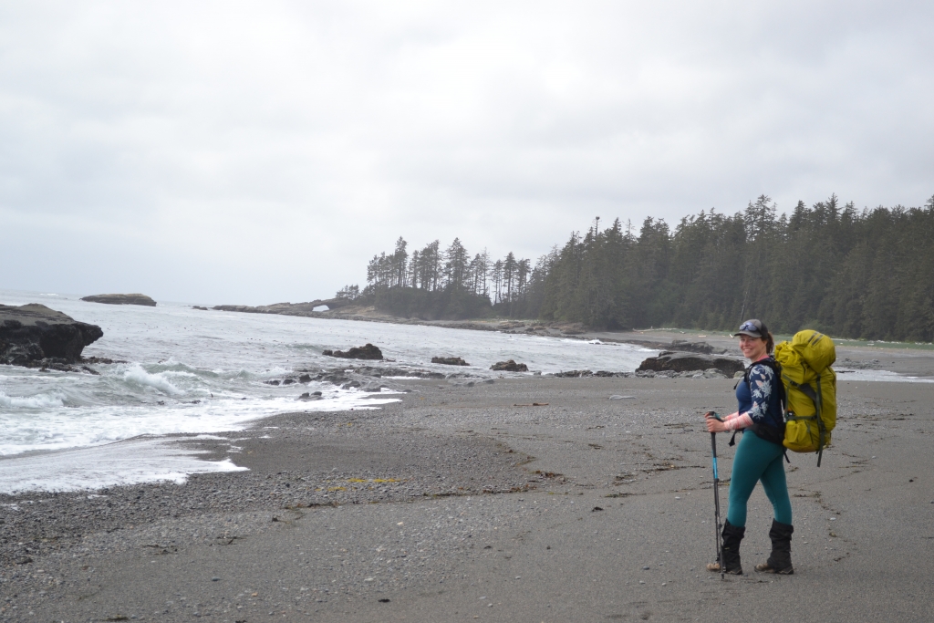
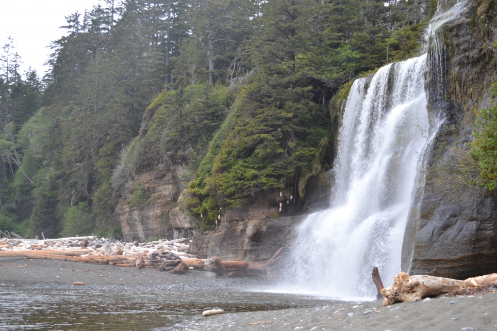
Day 4 – Cribbs Creek to Tsusiat Falls – 17 km – 8 hours
Weather: ⛅️ 15°C
Our longest day! We were up at 6 and hiking by 8, determined to stay ahead of both fatigue and any surprises. A whale sighting kicked off the morning, along with the familiar sea lion soundtrack and soaring eagles. This stretch reminded me of Newfoundland—rugged, layered cliffs and fossil-stamped rock.
Back into the forest we went, once again shouting to any bears in earshot. And sure enough: one showed up. We spotted it ambling along the beach at the Cheewhat River. We waited for a group behind us, did some shouting and clapping, and passed without incident—though our nerves didn’t settle until much later.
At Nitinaht Narrows, we opted to cross immediately, skipping the famed crab shack. Sorry, seafood fans, but dodging bear-sighting-induced anxiety took priority.
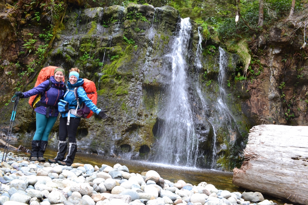
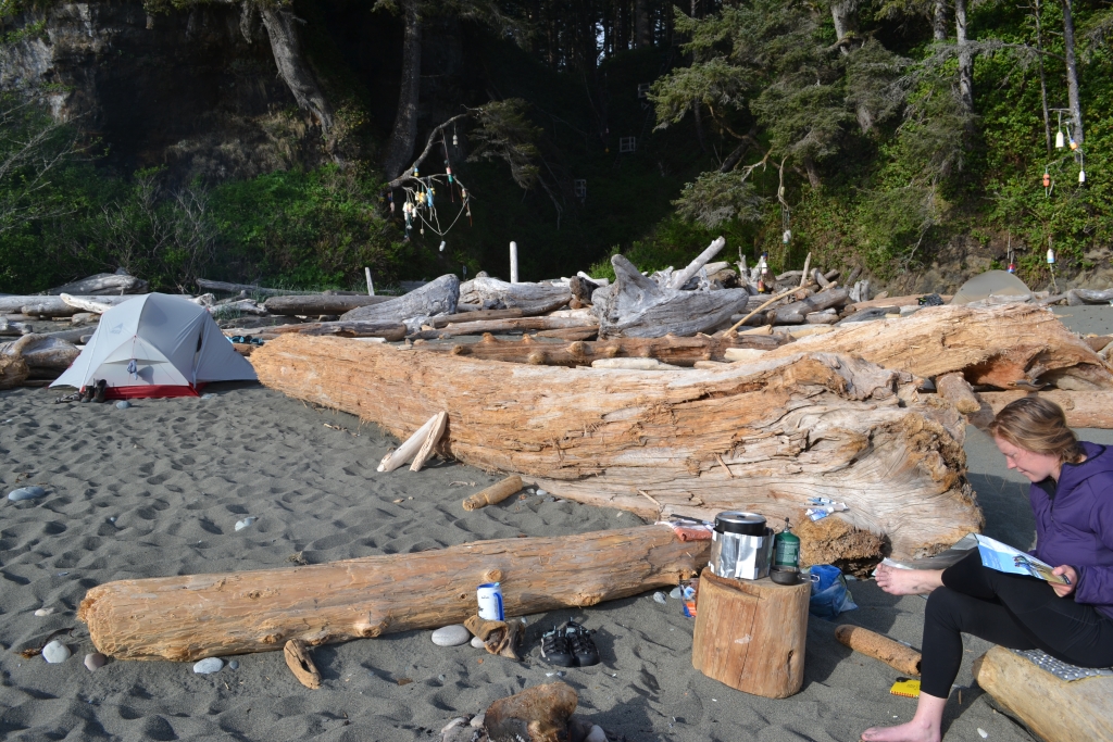
Tsusiat Falls was stunning—and also packed. Easily the busiest site of the trip. Still, the waterfalls were a great reward after a big mileage day.
Day 5 – Tsusiat Falls to Michigan Creek – 13 km – 6 hours
Weather: ☀️ 20°C
Today began with a 40-foot ladder. Because, of course. But after that it was smooth sailing: a cable car ride, some shoreline strolls, and finally—flat, friendly terrain. We were so ahead of schedule that we passed up Darling River to continue on to Michigan Creek.
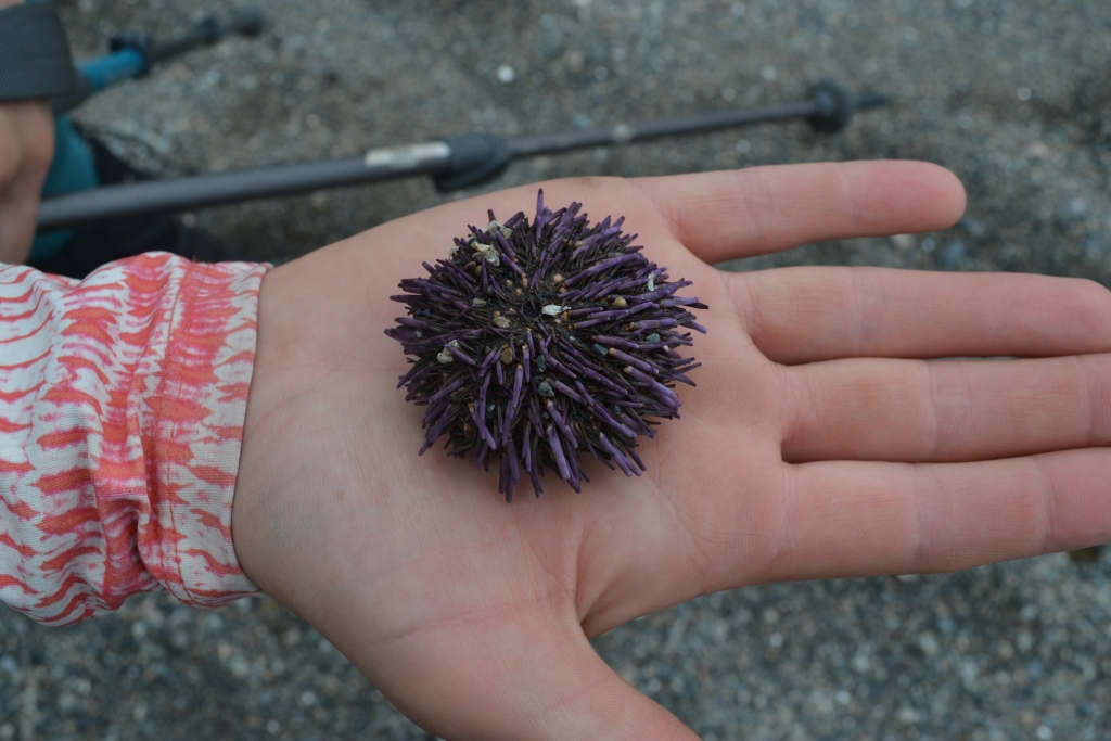
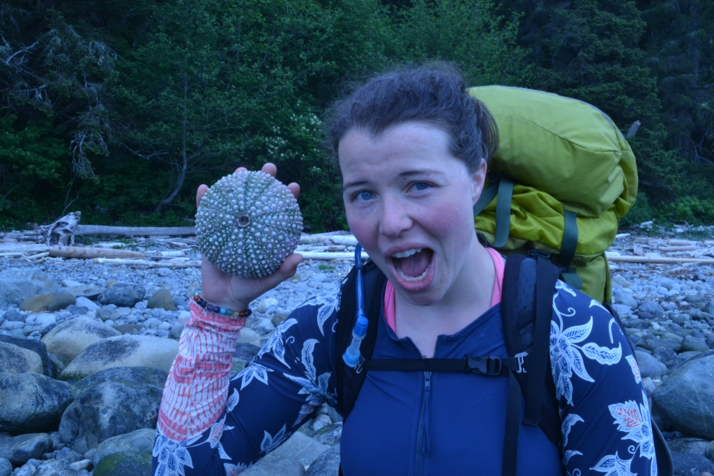
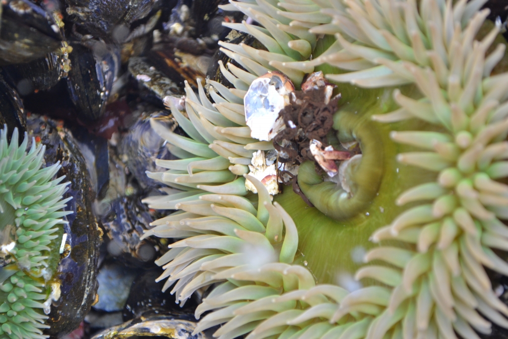
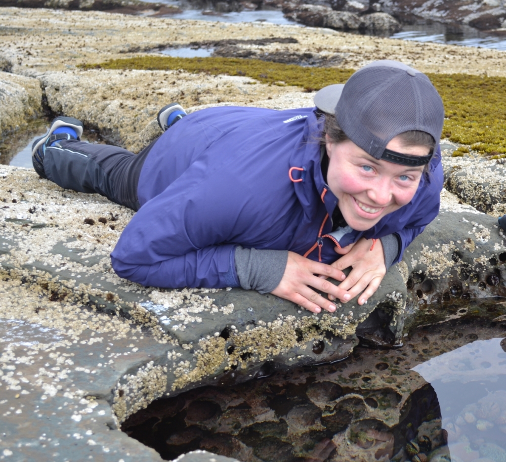
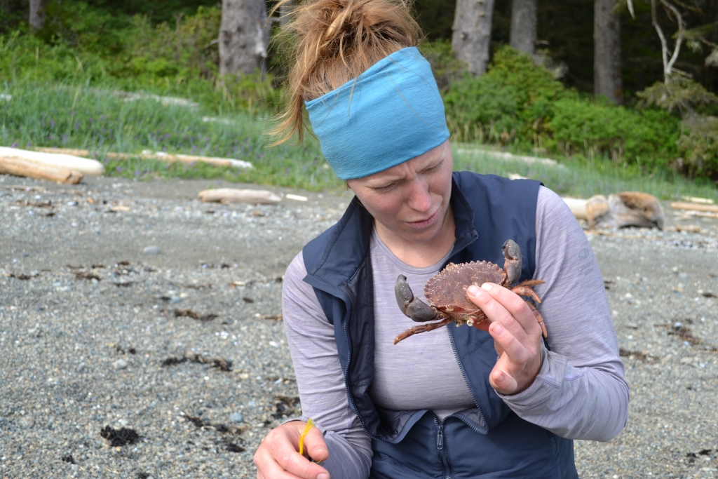
We rolled into camp by 3:30pm at low tide and immediately hit the tide pools. Anemones, hermit crabs, urchins, barnacles, mussels, and even a limpet snail (thanks, fellow camper with a marine biologist mom). Our inner nature nerds were thrilled.
To top it off, we shared stories with Al and Krissy from Comox and watched a pod of orcas cruise by. Unreal.

Day 6 – Michigan Creek to Pachena Bay – 12 km – 4 hours
Weather: 💦 10°C
We woke to our first rain of the trip—gentle, warm, and oddly welcome. After breakfast in the shelter of the trees, we set off and soon ditched our rain gear (hello, sauna suit). The trail was mellow, the air misty, and the forest lush.
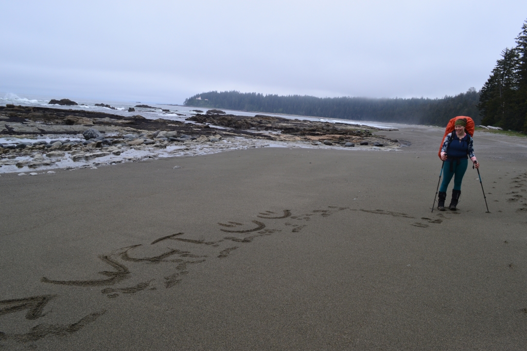
Sea lions barked nonstop from their rock perch, and we stopped to watch the chaos while snacking. By the time we reached Pachena Bay, the tide was out, the beach was enormous, and the finish line was in sight.
The Parks Canada office was… closed. Of course. The payphone didn’t work either. A kind operator helped us call a taxi to Bamfield, and our driver gave us a mini history tour before dropping us at the community campground.
Hot showers. Dry clothes. A proper meal. And a celebratory hot chocolate with Baileys. Life was good.
Final Thoughts
The West Coast Trail is no joke—75km of mud, ladders, bears, whales, and views that slap. We were surprised how many first-time backpackers take this on. While there’s no route-finding, the terrain is still demanding. If you’re a solid day hiker who’s done some overnight trips in bear country, this might be a good “level-up” trek.
Our biggest mistake? Packing too fast and not checking our weight. We each started with 45–50 lbs and finished around 35–40 lbs. Too many clothes, too many cooking supplies. Not a crisis, but not ideal. We did allow a few luxuries (looking at you, Nutella), and it was worth it.
We lucked out with the weather. If it had rained more, those ladders and boardwalks would’ve turned treacherous fast. We got sunshine, whales, fog, forests, and a bit of everything in between—and we came out the other side stronger, smellier, and completely content.
What’s your wildest trail moment? Bears, blisters, bad packing choices?
Tell me in the comments that I’m not the only one yelling “HEY BEAR!” like a lunatic.
Recommended Reads
Best Places in Kelowna for Outdoor Adventures
Looking for a new adventure destination? Look no further! This post is all about the Best Places in Kelowna for Outdoor Adventures – whether you want a long weekend escape or a summer long stay, Kelowna and the Oakanagan Valley is a must do. Will and I spent the Thanksgiving Long Weekend visiting friends in…

Top Activities & Things to Do in Nelson, BC [West Kootenays]
Will and I have fallen in love with the West Kootenay’s and Nelson has become one of our top places to play in Canada. In this Travel Guide Article for Active Adventurers we want to show you why you should never miss Nelson! WOW! The weather is great! Nelson and surrounding area enjoys a wonderful…
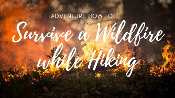
Adventure How To: Survive a Wildfire While Hiking
As a new hiker in Western Canada, one of the many new skills I needed to learn was how to survive a wildfire while hiking. Back east, wildfires are not as common and fire is not a hazard we learn about as outdoors people. In this post, I want to help you learn more about…