

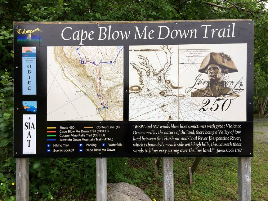
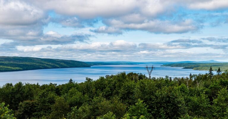
The Cape Blow Me Down Trail (formerly Copper Mine to Cape) is one of the best hikes in the Bay of Islands region. Rising about 650m to the summit, the trail rewards you with 360° views of the entire bay, stretching to the North Arm Hills and even the City of Corner Brook on a clear day. Whether in summer wildflowers, fiery fall colors, sparkling winter frost, or fresh spring air—this trail is always worth the climb.

Quick Hike Stats
- Distance: 8.4 km (including all lookouts + summit loops)
- Elevation Gain: 657 m
- Time: ~4 hours (uphill is leisurely; downhill can be under 1 hour)
- Difficulty: Challenging – steep climbs, ropes, icy/windy conditions at times
- Season: Year-round (snowshoes or crampons essential in winter) Read more about NL Weather here.
- Created and Maintained by: OBIEC and IATNL
Ads are how we keep our blog free for you to enjoy. We also use affiliate links; if you make a purchase through them, we may receive a small commission at no cost to you.
Trail Access & Parking
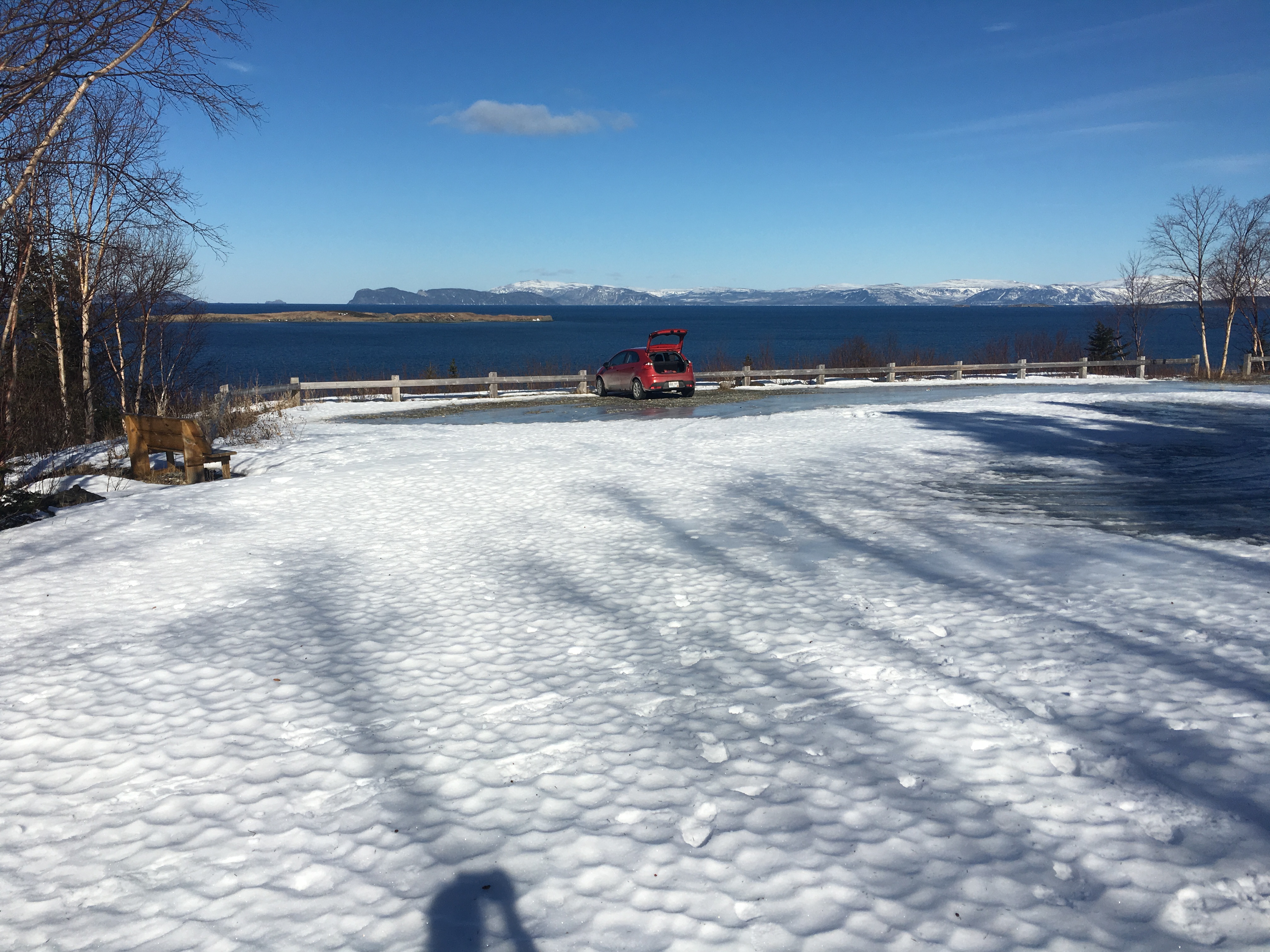
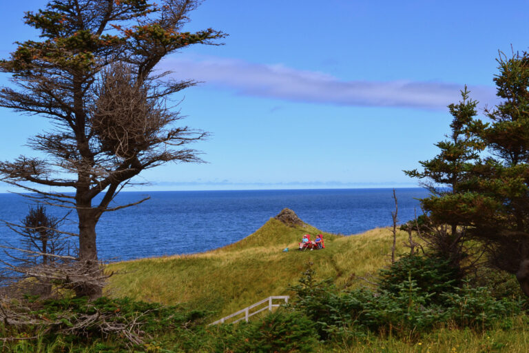
The trailhead is located along Main Road, about 5km before York Harbour and 10 past French Man’s Cove. It’s a 40-minute drive from Corner Brook. A good-sized parking lot is available at the trail start, allowing for vehicles or up to 30 feet to turn around and park. The parking is not usually plowed in winter.
Tip: The parking lot has one of the best views around—pack a picnic for after your hike.
Trail Map
The map above is not intended for navigational purposes. Mapped using Terra Map Pro – Canada Version 5.4 (iOS App) and imported to Google Maps.
Other Map Options
Hiking Cape Blow Me Down
Climb Through the Forest
From the trailhead, the path climbs steadily through boreal forest. In winter, the snow can be crusty and icy, so snowshoes with good crampons are a must. Follow flagging tape through the trees—don’t rely on moose tracks to guide you!
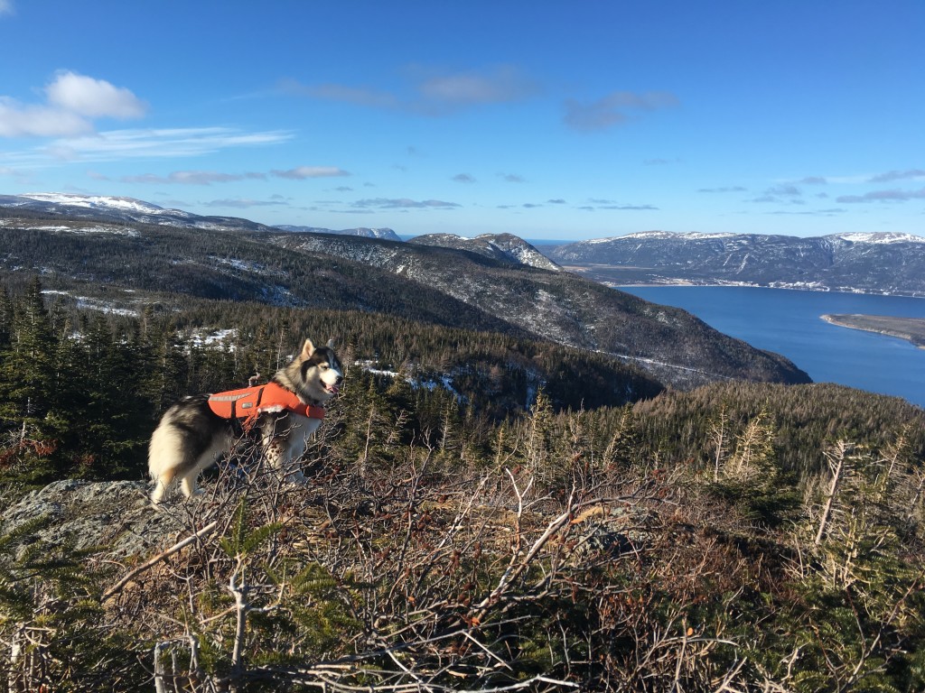
Lookouts along the way reveal glimpses of the islands and surrounding provincial park. The climb is steep and unrelenting, so pace yourself and make sure to take lots of breaks to turn around and enjoy the views!
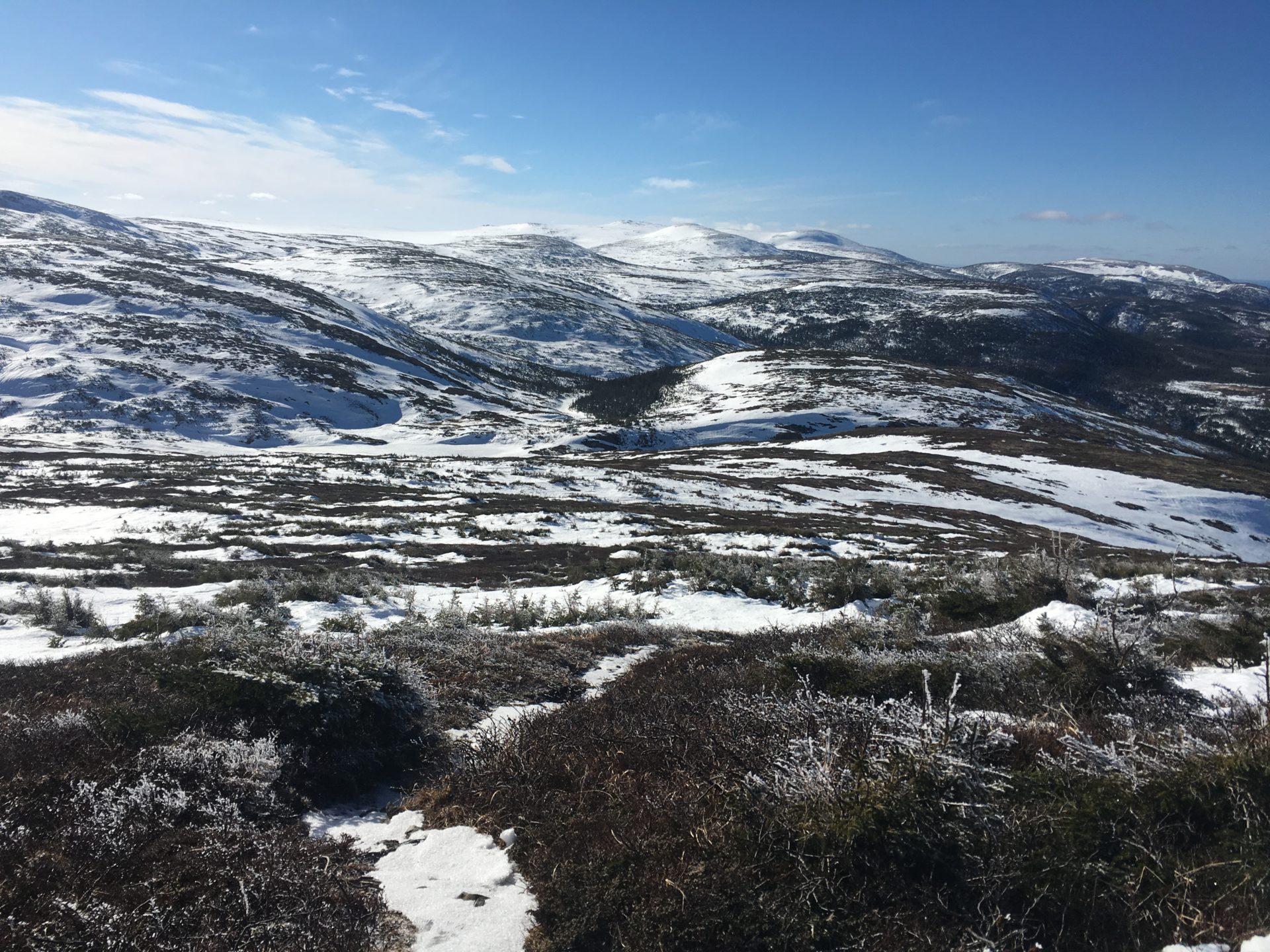
Breaking the Tree Line
As you ascend above treeline, snow often gives way to ice. The tread tends to collect meltwater, so traction gear is essential. On my last hike, I was surprised to see the ground shimmering with hoar frost—delicate ice crystals that sparkle in the sun but can make footing tricky.
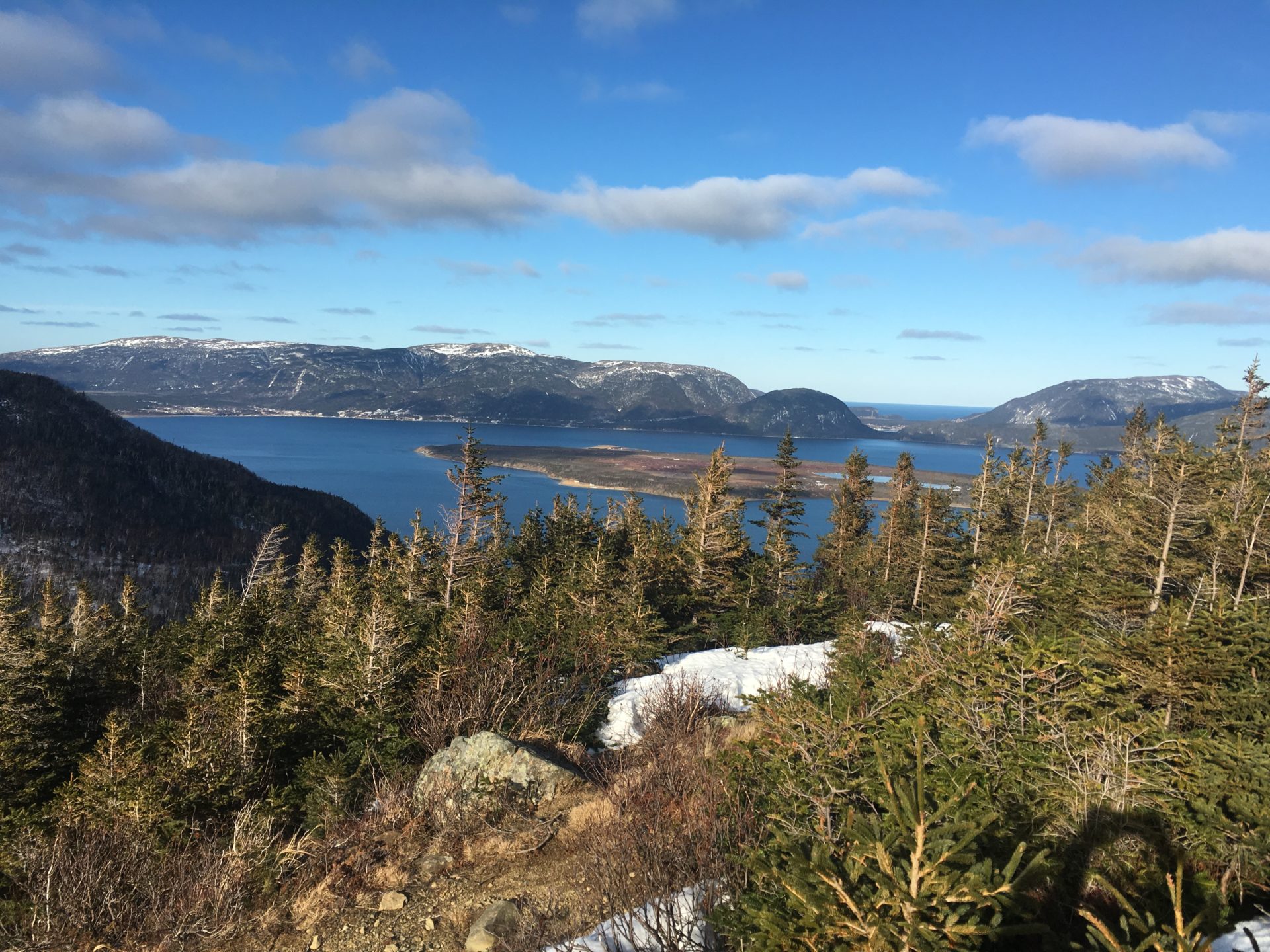
From here, the views open wide: south to the Lewis Hills, east to Corner Brook, and across the islands of the Bay of Islands.
The ropes are still in good condition along the trail. I noticed perhaps 5-6 blowdowns that you have to skirt around and a couple widow makers (fallen trees that are still hanging, ready to fall) that folks should be mindful of.
As I broke the tree line, there was less snow and more ice. The tread of the trail (in most places) is the lowest spot, so after the melt last week, the trail tread has become filled with ice. Snowshoes with good crampons are key.
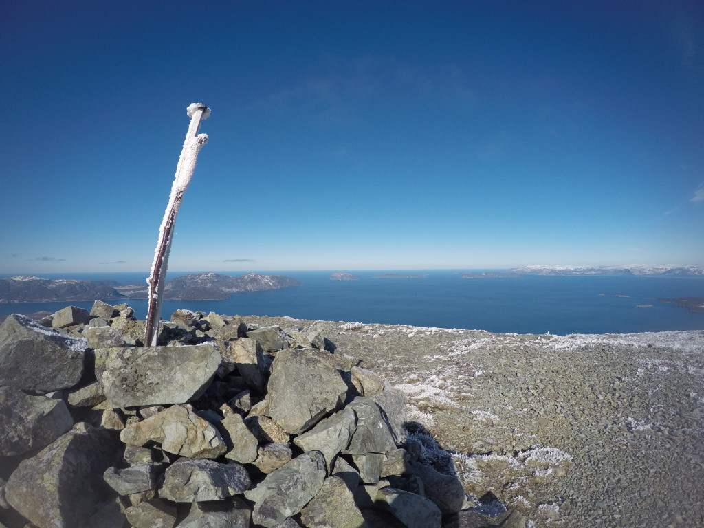
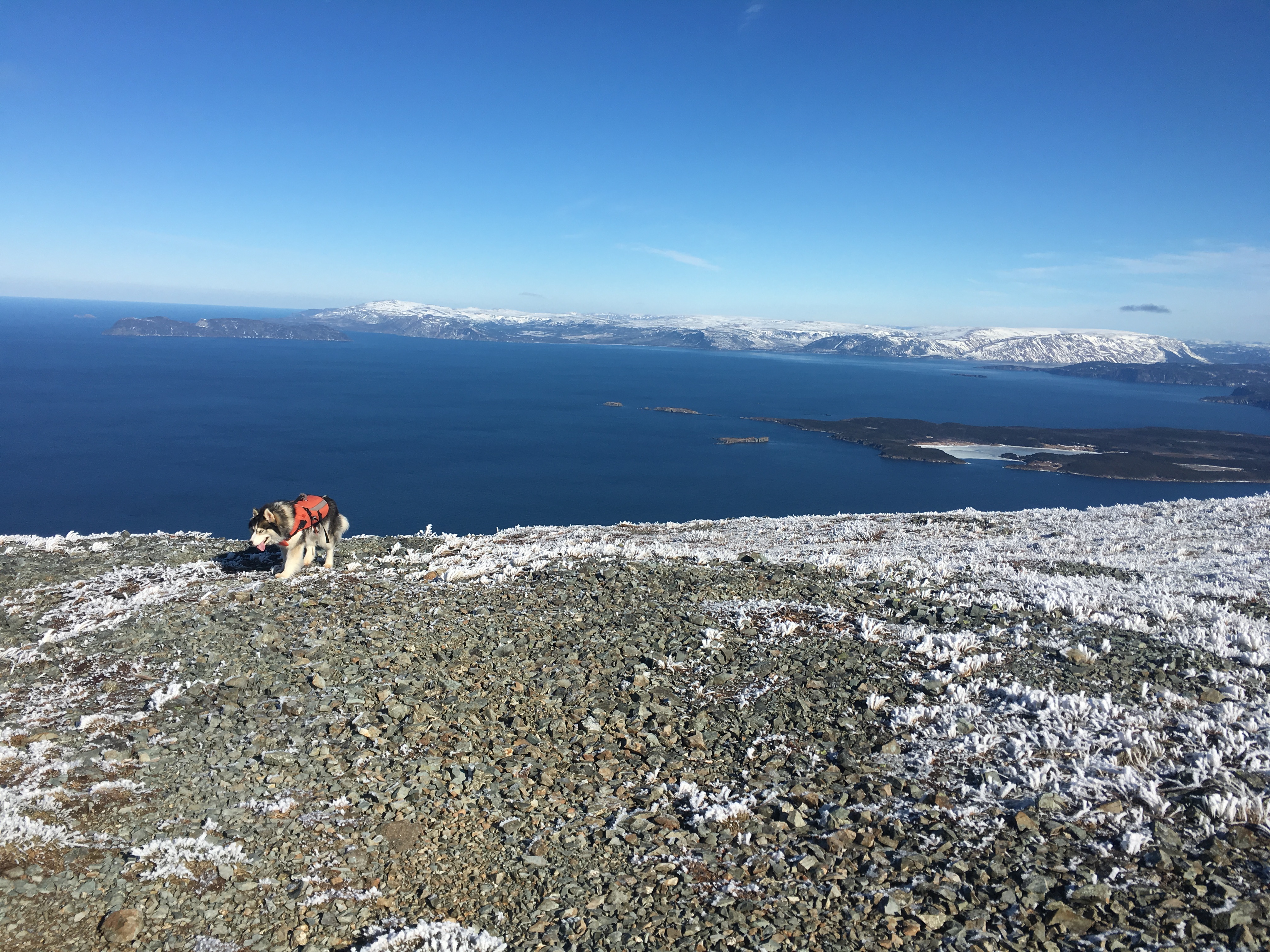
The Summit Experience
At the cairn marking Cape Blow Me Down’s summit, you’ll find some of the most expansive views in Western Newfoundland. The bay stretches out in all directions, framed by the rugged North Arm Hills and the distant Lewis Hills.
I love sitting here with a snack, recalling past trips—being lost in the fog on my first attempt in 2009, bracing against 80 km/hr gusts another year, or soaking up a midsummer sunset at 9pm. Each climb brings something new.
The Descent
The return hike is steep but quick—often under 40 minutes if you keep your snowshoes or spikes on. I learned the hard way that removing them too soon can mean slipping, sliding, and torn pants!
Back at the trailhead, it’s always satisfying to load up gear, breathe the salty bay air, and glance back up at the peak you just conquered.
Why You’ll Love It
Cape Blow Me Down Trail captures the essence of Newfoundland hiking: extremes of weather, vast open views, and the raw beauty of the Bay of Islands. It’s a trail that challenges, inspires, and rewards in every season.
Planning Your Hike
- Watch conditions & Check the Weather:
- Ice, blowdowns, and strong winds are common along this trail.
- Environment Canada for Corner Brook is best for temperature and rain amounts while the Maine weather for Northeast Gulf is bet for wind direction and speed.
- Navigation:
- Trails are somewhat marked, but I always recommend you carry a map/GPS (Gaia GPS is excellent).
- Allow time:
- This is usually about a 4-hour return hike – even if you’re fast, take time for the lookouts.
- Go Prepared:
- Bring the 10 Essentials from our Day Hike Checklist
- Hiking poles are your best friend for this descent.
- Snowshoes with crampons or microspikes in winter are required.
- Use of this information and all trails is at your own risk, so please hike safely and responsibly.
Recommended Reads
Ultimate Guide to Hiking Gros Morne Mountain Trail (James Callaghan Trail)
Gros Morne Mountain is the iconic summit hike in Gros Morne National Park, Newfoundland—a full-day, legs-on-fire kind of climb that rewards you with a rare arctic-alpine plateau and sweeping views over Ten Mile Pond and the Long Range Mountains. This guide covers the full route (Approach + Summit loop), spring closure dates, seasonal conditions, weather…
Hike This: Lakeside Trail in Gander, Newfoundland
Welcome to Gander’s Gem of a Hike Tucked just minutes outside Gander, the Lakeside Trail is a 7.1 km forest-and-lakeshore ramble that delivers solid scenery, a touch of elevation, and enough berries and birdsong to keep things interesting. It’s your classic “not too hard, not too easy” trail—ideal for a solid half-day adventure or a…
Best Hikes in Gros Morne National Park
Gros Morne National Park, nestled on Newfoundland’s west coast, is a haven for hikers. Whether you’re in search of gentle boardwalks, rugged mountain climbs, or coastal views, the Gros Morne hiking trails offer some of the most varied and awe-inspiring landscapes in Canada. This blog showcases the top 4-5 trails we consider the Best Hikes…